


Geography teaching resources for Canada

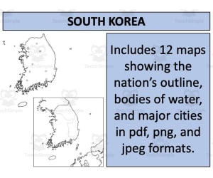
South Korea Maps: Twelve Printable Designs
, Not Grade Specific,
Explore South Korean cities, rivers and neighbouring countries with twelve map designs. Labelled and blank options come in PDF, PNG and JPEG formats.
Author Mr Gray History
Rating
Tags
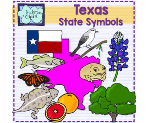
Texas State Symbols: Illustration Sheet
, Not Grade Specific,
Use a single-page Texas outline and symbol pictures with a teacher-planned report or classroom display.
Author Teacher's Clipart
Rating
Tags

Cardinal Directions and the Compass Rose Guide
, Not Grade Specific,
Cardinal directions and the compass rose are taught through mnemonic devices, guided practice, and six worksheets applying directions to real US and Canada maps.
Author Chuck's Cornucopia
Rating
Tags Geography, Compass, Directions, Map, Location

United States Outline Maps: Colour and Black-and-White
, Not Grade Specific,
Use two US state-outline maps for a teacher-planned geography activity. The maps do not label states, capitals, routes or districts.
Author educ_project
Rating
Tags
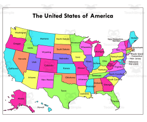
United States Map: Fifty Labelled States
, Not Grade Specific,
Locate all fifty US states on labelled maps in two print treatments, with Alaska and Hawaii shown as insets.
Author educ_project
Rating
Tags
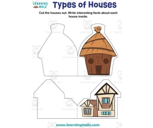
Types of Houses Activity
, Not Grade Specific,
Types of houses are explored through a combined cutting and fact-writing task. Learners cut out the illustrated structures, then use the open interior of each house to record relevant characteristics or information. The format links a visual housing type with learner-generated notes rather than supplying a completed reference chart. A second page carries the remaining printable material associated with the same house activity.
Author Educational Voice
Rating
Tags Types Of Houses Activity, Types Of Houses, House, Houses, Geography, Geography Facts, Geography Facts For Kids, Houses Facts, Houses Facts For Kids

United Arab Emirates Maps: Six Designs
, Not Grade Specific,
Locate UAE cities and bodies of water on labelled maps, or choose a blank outline for your own task. Six map designs come in PDF, PNG and JPEG formats.
Author Mr Gray History
Rating
Tags
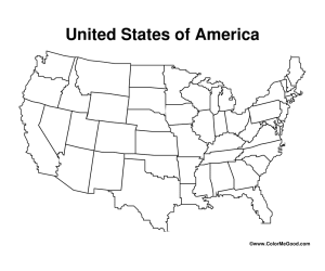
Blank Map of the Contiguous United States
, Not Grade Specific,
Label or colour a blank outline map of the 48 contiguous US states. Alaska and Hawaii are not shown.
Author Have Fun Teaching
Rating
Tags

United States Map: Extreme Dot-to-Dot
, Not Grade Specific,
Connect the numbered sequence to reveal a US map design, then compare it with the completed outline.
Author Tim's Printables
Rating
Tags

US State Licence-Plate Templates
, Not Grade Specific,
Use alphabetically arranged templates for all fifty US states to design pretend plates.
Author Monaco Lane Curriculum for Early Literacy
Rating
Tags

Utah State Symbols: Illustration Sheet
, Not Grade Specific,
Use a single-page Utah outline and state-symbol pictures in a teacher-planned report, display or discussion.
Author Teacher's Clipart
Rating
Tags

Virginia State Symbols: Picture Sheet
, Not Grade Specific,
Use Virginia symbols such as the cardinal, dogwood and brook trout for a teacher-planned display, colouring task or discussion.
Author Teacher's Clipart
Rating
Tags

Wisconsin State Symbols: Picture Sheet
, Not Grade Specific,
Use a printable Wisconsin symbol sheet for a teacher-planned colouring or reference activity.
Author Teacher's Clipart
Rating
Tags

Wyoming State Symbols: Illustration Sheet
, Not Grade Specific,
Use Wyoming state-symbol pictures to support a teacher-planned state study. Add a researched caption or discussion for each selected symbol.
Author Teacher's Clipart
Rating
Tags