Eswatini Map Resources


About This Product
Eswatini Map Resource
Our comprehensive Eswatini Map Resource product is purposely designed for educators ranging from public school teachers to individuals engaged in homeschooling.
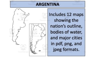
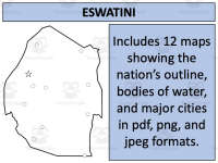
Format Diversity: Offers 12 distinct map sheets covering an array of formats such as pdf, jpeg, and png. This flexibility caters to your specific needs.
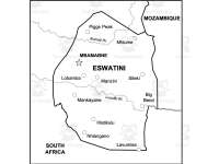
In this collection, you'll not only find simple blank outlines but also maps that explicitly identify bodies of water and major settlements in Eswatini.
A Regional Perspective: Our maps portray Eswatini both independently and positioned amongst its surrounding countries—a crucial aspect when providing geographical context.
These maps aren't restricted solely for educational use within the classroom. They're also suitable for anyone creating their own educational products or printable resources, following our provided guidelines.
Suitability Across Educational Spectrum
The versatility of these map resources makes them ideal assets across diverse lesson plans and grade levels within social studies or geography curriculums. These Eswatini Map Resource may be given to students one at a time, or the whole set to complement their learning about Eswatini.
Please Note: The file type provided is zip; hence ensure compatibility with devices before utilizing them efficiently!
This Eswatini Map Resource is a great one to have handy when covering the learning about Eswatini.
0 Reviews
Check out these other great products