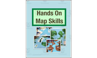
Map & Globe Skills – Grades 6-8 Reading Packet


- Grades
- Grades 6–8
- Pages
- 25
- File type
- Answer key
- Included


- Subject
- Social Studies, Geography
- Topic
- Map skills, Latitude and longitude
- Resource types
- Worksheets, Activities
- Answer key
- Included
Product description
From the author
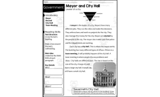
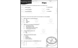
Map and Globe Skills contains twelve student worksheets and corresponding answer pages in a 25-page PDF for grades 6–8. Students label directions and global reference lines, use latitude and longitude and grids, follow directions to complete a marina map, and design a city.
Other tasks use maps of Mexico, Australia, Great Britain, Russia and Europe to practice scale, map keys and thematic-map interpretation. Choose pages for a geography sequence and use the supplied keys to discuss answers. The map-making tasks allow varied student designs.
For an extension, students can organize map vocabulary in their own graphic organizers.
Related resources
More resources teachers may find useful
24 related resources were found using this product's title, contributor, categories and tags.



In the classroom
Teaching tips & learning objectives

Learning objectives
Use directions, coordinates and map keys to interpret and create maps.

Teaching tips
Teach the map convention needed for each page before assigning it independently.

Skills covered
Map reading, spatial reasoning and map creation.
Good to know
Questions teachers ask about this resource
How can I sequence the packet?
Start with direction and map-key skills, then introduce coordinate and thematic-map tasks. Use the city-design activity after students have practiced reading maps.

No reviews yet
Downloaded this resource? Tell other teachers how it went.
Resource details
Concepts & topics
Core concepts
 Core concepts
Compass directions; coordinates; keys; thematic maps.
 Topics
Explore more
Categories this resource belongs to
Explore related searches
More to explore
You may also like