



Equator, Prime Meridian, Latitude and Longitude Worksheets
- Grades
- Grades 2–3
- File type
- Answer key
- Included


- Subject
- Social Studies, Geography, Reading
- Topic
- Equator, Prime Meridian
- Answer key
- Included
- Standards
- RI.2.1
Product description
From the author
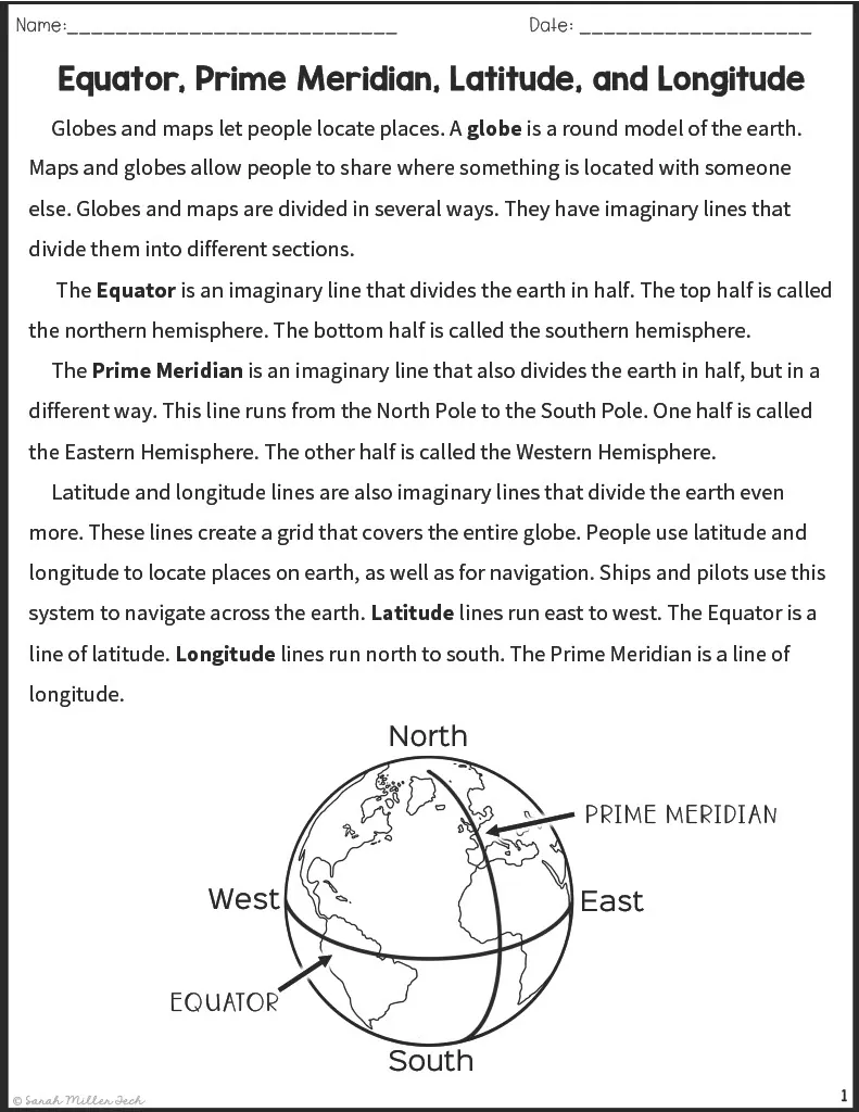
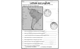
The Equator and Prime Meridian Reading Packet facilitates engaging social studies lessons for grade 3 students. This printable 7-page packet contains an informative passage explaining key geography terms like latitude, longitude, equator, prime meridian, and more. Students will apply their understanding of these concepts by completing supporting worksheets and graphic organizers. Teachers can utilize the passage and activities during whole-group instruction, small-group work, or as an independent homework assignment. Multiple-choice questions, vocabulary exercises, and answer keys provide opportunities to assess and reinforce student comprehension. Overall, this concise, focused resource allows flexible implementation for standards-based instruction about coordinates, hemispheres, and imaginary map lines.
Related resources
More resources teachers may find useful
24 related resources were found using this product's title, contributor, categories and tags.


In the classroom
Teaching tips & learning objectives

Learning objectives
Define the Equator, Prime Meridian, latitude, and longitude
Distinguish lines of latitude (east-west) from lines of longitude (north-south)
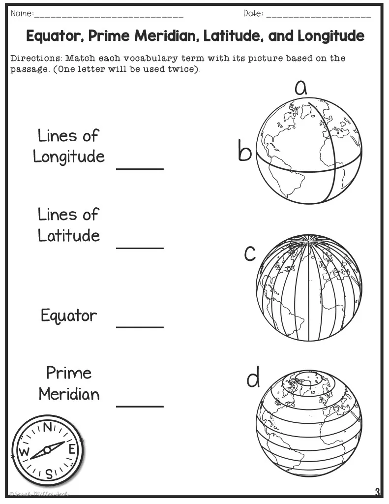
Match each geography term to its correct diagram location and definition

Teaching tips
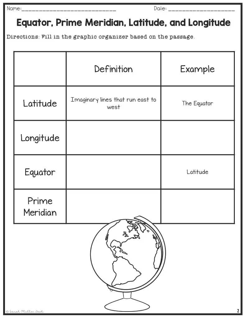
Read the passage aloud first, then work through the graphic organizer together before releasing students to the independent matching and quiz activities.
Use the labeled diagram picture-matching task to reinforce the visual difference between latitude and longitude lines before the more abstract quiz questions.
Explain that the Prime Meridian and the opposite 180-degree meridian together bound the Eastern and Western Hemispheres.

Skills covered
Geography vocabulary — students define and apply the terms Equator, Prime Meridian, latitude, and longitude.
Reading for information — students extract facts from an informational passage to complete a graphic organizer and answer quiz questions.
Diagram interpretation — students match each term to its correct position on a labeled globe diagram.
Good to know
Questions teachers ask about this resource
How do the multiple-choice options for the last two quiz questions compare between the two printed versions of the quiz?
They differ — one printed version offers distractors like 'Here to there' and 'The sky to the ground,' while the other instead offers 'North to west' and 'East to south' for the same two questions.
Why are the graphic organizer responses marked 'may vary'?
Because that activity asks students to supply their own example for each term rather than choose from fixed options, so more than one response can be correct.

No reviews yet
Downloaded this resource? Tell other teachers how it went.
Curriculum
Standards, concepts & topics
Standards
 Standards
- RI.2.1
Core concepts
 Core concepts
Equator
Prime Meridian
Latitude and longitude
Map and globe skills
 Topics
Explore more
Categories this resource belongs to
Explore related searches
More to explore
You may also like


