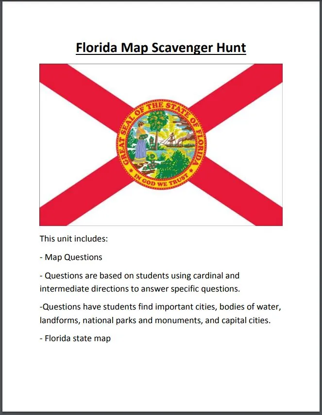
Florida Map Scavenger Hunt
- Grades
- Grades 4–6
- Pages
- 4
- File type
- Answer key
- Included


- Subject
- Social Studies, Geography
- Topic
- Florida, Map
- Resource types
- Worksheets
- Answer key
- Included
Product description
From the author
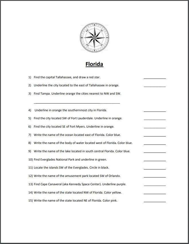
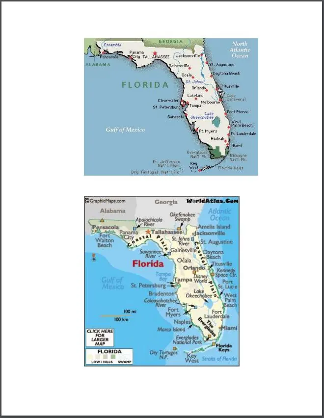
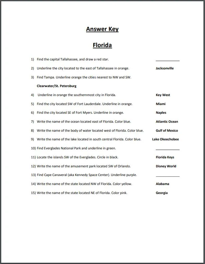
Practice cardinal and intermediate directions with a four-page Florida map scavenger hunt. The printable includes an overview, one page of 15 questions, a map page and a teacher key. Students locate features and complete the requested map markings.
Use this printable individually, in small groups or with the class.
Related resources available separately
Related resources
More resources teachers may find useful
24 related resources were found using this product's title, contributor, categories and tags.
In the classroom
Teaching tips & learning objectives

Learning objectives
Students apply cardinal and intermediate directions (N, S, E, W, NE, NW, SE, SW) to locate features on a Florida map.
Students identify major Florida cities, bodies of water, landforms, and national parks in relation to one another.
Students use a color-coded key to mark and distinguish different categories of map features.

Teaching tips
Review cardinal and intermediate directions before assigning the hunt.
Have students complete the requested stars, underlining and circles as they go.
Check map-marking items on the map itself. Item 13 asks students to underline Cape Canaveral, so it does not require a written answer in the key.

Skills covered
Directional map reading — students use cardinal and intermediate directions to locate cities and landmarks relative to reference points like Tallahassee and Fort Lauderdale.
Florida geography — students identify state landmarks including Everglades National Park, the Florida Keys, Cape Canaveral, and neighboring states Alabama and Georgia.
Map key application — students use a consistent color code (star, underline colors, circle) to mark different categories of features.
Good to know
Questions teachers ask about this resource
What materials should I prepare?
Provide the map and question page together with coloring materials for the stars, underlining and other map marks requested.

No reviews yet
Downloaded this resource? Tell other teachers how it went.
Resource details
Concepts & topics
Core concepts
 Core concepts
Cardinal directions
Intermediate directions
Florida geography
Map skills
Topics
 Topics
Explore more
Categories this resource belongs to
Explore related searches
More to explore
You may also like