Guatemala Map Resources


About This Product
Guatemala Map Resources
The Guatemala Map Resources is a remarkable teaching tool, particularly curated for educators in the field of social studies and geography. This multifaceted resource boasts of a variety of maps, each with unique features capable of facilitating diverse aspects when discussing Guatemalan geography.
This comprehensive package omits grade-specific limitations – making it accessible to educators from all levels.
Instructors can incorporate this versatile toolkit into their curriculum dynamically to facilitate discussions on geographical themes.
Formats and Interactivity:
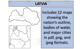
The package spans twelve unique map sheets available in formats like PDF, JPEG, and PNG.
The interactive blank outlines encourage direct student involvement during lessons as an engaging educational activity or quiz.
Focus on Geographic Relations:
The entire set not only emphasizes Guatemala's isolation but also shed light on its geographic relationships with neighboring territories. This makes it an excellent choice for discussing international borders or geopolitical concepts.
To summarize, this Guatemala Map Resources is not just worksheets but rather serves as a complete atlas packed tightly into one zip file format focusing explicitly on Guatemala. It transforms geography lessons from mere classroom discussions into dynamic journeys across nations.
These Guatemala Map Resources is a ready to print and use resource!
0 Reviews
Check out these other great products