North America With Labels – Map of North America Label North America
- Grades
- Grades 6–9, Middle School, High School
- File type
- Preparation
- Print ready


- Subject
- Social Studies, Geography
- Topic
- Map of North America , Label North America
- Resource types
- Activities
- Preparation
- Print ready
About this resource
What's inside this resource
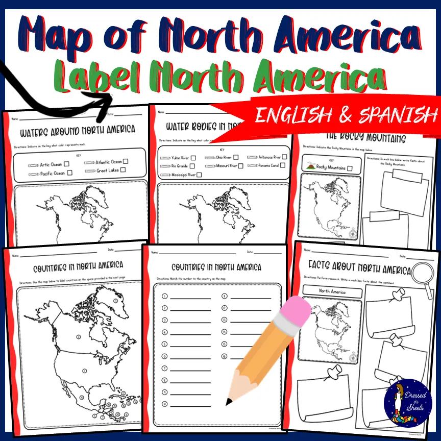
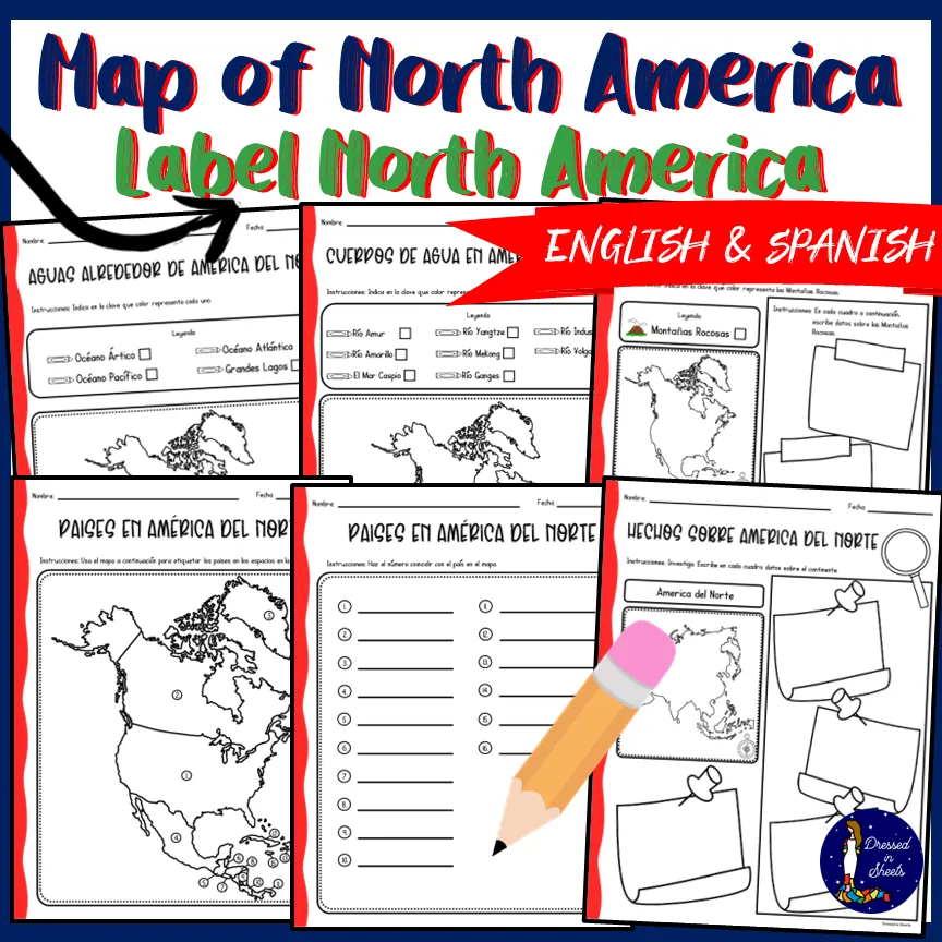
Students can use textbooks, the internet, maps, and library books to perform research to complete the pages about North America.
Includes:
✅waters around North America
✅bodies of water in North America
✅The Rocky Mountains
✅map of countries in North America unlabeled
✅labeling 16 countries in North America
✅facts about North America
✅agua alrededor de America del Norte (Spanish version)
✅cuerpos de agua en America del Norte (Spanish version)
✅Las montañas Rocosas (Spanish version)
✅paises en America del Norte (Spanish version)
✅etiqueteando paises en America del Norte (Spanish version)
✅hechos sobre America del Norte (Spanish version)
This set will provide students the opportunity to become savvy researchers to complete each page and it will require the use of a map to find the countries as well as known bodies of water.
This resource will encompass the continent of North America.
Happy researching!
Related resources
More resources teachers may find useful
24 related resources were found using this product's title, contributor, categories and tags.



In the classroom
Teaching tips & learning objectives

Learning objectives
Identify major waters surrounding North America and selected inland waterways
Locate the Rocky Mountains and distinguish physical from political features
Match numbered map locations with North American countries

Teaching tips
Preview the water-feature keys before learners add color so oceans, lakes, rivers, and the canal remain distinct.
Use the numbered country map and matching sheet together; keep the country names off the map until learners have attempted the locations.
Treat the Spanish pages as parallel geography work and review the printed feature vocabulary before students begin.

Skills covered
Map-key use — color coding connects named features with their positions on a map.
Political geography — numbered locations are matched to country names.
Physical geography — oceans, lakes, rivers, a canal, and a mountain range are identified separately.

No reviews yet
Downloaded this resource? Tell other teachers how it went.
Resource details
Concepts & topics
Core concepts
 Core concepts
North America
Map labeling
Physical geography
Political geography
Topics
 Topics
Explore more
Categories this resource belongs to
Explore related searches
More to explore
You may also like