Mozambique Map Resources


About This Product
Mozambique Map Resources
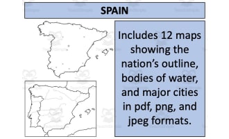
The Mozambique Map Resources is designed for educators, including public school teachers and homeschoolers. This comprehensive map resource package offers a detailed outline of the African country of Mozambique in various formats such as PDF, JPEG, and PNG.
Twelve separate map sheets with varying designs to tailor to your specific lesson plan needs of Mozambique.
Blank outlines provided for students to fill in or label during interactive geography lessons.
Bodies-of-water maps to help students visualize and understand geographical elements.
A broad perspective about Mozambique’s geographical location on the continent—essential when discussing international geopolitics or trade systems is also presented by maps positioning Mozambique among its neighboring nations.
This Mozambique Map Resources set is ideal for Social Studies classes or other educational activities involving geography curriculum components. These Mozambique Map Resources could be effortlessly adapted across different learning tiers since they're not grade-specific. This characteristic makes these map resources widely applicable throughout classrooms with varied learning competences.
Mozambique Map Resources is a great resource to have handy to prep your geography lessons!
Detailed US Maps as well as bundles containing an impressive selection showcasing 194 different nations are among some significant examples you can find in my store!
Resource Tags
0 Reviews
Check out these other great products