Peru Map Resources


About This Product
Product: Peru Map Resources
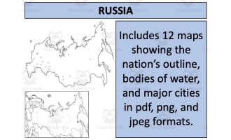
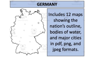
This set of Peru Map clipart resources comprises twelve distinct map sheets, designed meticulously to facilitate diverse educational needs. Designed for versatile use across grade levels, the resource caters to social studies, particularly focusing on geography.
The maps featured in this pack come in various formats including pdf, jpeg and png. This flexibility ensures that you can easily incorporate the maps into different mediums of instruction with ease.
Included within these collections are blank outlines that offer room for interactive learning where students can fill in details or color code sections.
The collection also includes detailed segments that display bodies of water and major settlements which bring an advanced level of detail into your lessons.
A unique feature about this resource is that it portrays Peru in two distinct contexts - isolated and as part of surrounding nations. This dual-level approach facilitates understanding both at a micro and macro level. It helps study regional dynamics while permitting focused attention on individual state specifics.
If you wish more variety or broader coverage beyond one nation-state locus, we offer an attractively priced bundle featuring detailed geographical information on 194 different nations.
Ready-to-download Zip Files:
The resources come as easy-to-manage zip files ensuring smooth downloads without any interruptions; never before has map-focused teaching been so effortless!
Resource Tags
0 Reviews
Check out these other great products