Russia Map Resources


- Grades
- Grades 4–8
- Pages
- 14
- File type
- Multiple File Types


- Subject
- Social Studies, Geography
- Topic
- Russia, Map skills
- Resource types
- Worksheets, Teacher Tools
Product description
From the author
The Russia Map Resources is a comprehensive teaching supplement specifically designed to aid educators in imparting geography knowledge. This invaluable resource can be exceptionally beneficial to public school teachers and homeschoolers who wish to bring the vastness of Russia close to their students.
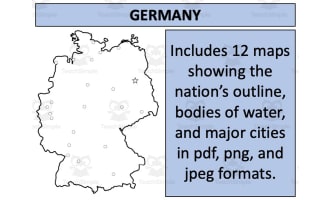
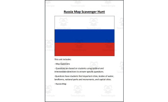
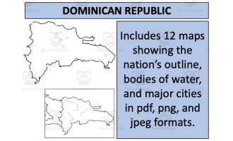
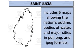
Enclosed within this product are twelve map sheets designed solely for quality education. These maps are provided in multiple formats, such as PDF, JPEG, and PNG, allowing easy access across different devices and software utilization. Each map offers a unique exploration of Russia’s geographical features; they contain blank outlines perfect for testing knowledge retention or creative mapping activities.
Additionally, other aspects that elevate these resources’ usefulness include maps showing bodies of water and major settlements.
A special feature is the thoughtful inclusion of two types of maps: one displaying Russia in isolation and another integrating it with its neighboring nations.
Educators can veritably extend these resources' utility by incorporating them into various tasks they create for their learners using the labeled maps as references for student annotation.
This product isn't grade-specific but generally suitable for Social Studies curriculum focused on Geography Education using Worksheets as key tools—conveniently stored in an easily-downloadable Zip file format bolstering its accessibility quotient!
Whether you're introducing your class first time to global topography or revisiting regions already explored - these Russia Map Resources truly bring world orientation into the classroom effortlessly.
Related resources
More resources teachers may find useful
24 related resources were found using this product's title, contributor, categories and tags.
In the classroom
Teaching tips & learning objectives

Learning objectives
Locate Russia's major cities on a map and describe how they are distributed, from a dense western cluster to isolated Pacific and Arctic settlements
Identify Russia's principal rivers and trace the north-flowing Ob, Yenisei and Lena against the Volga's southward course
Locate countries shown around Russia in the regional map, including Mongolia, China and Japan

Teaching tips
The maps rise in layers, so hand out the city map first and hold the fully labelled physical map back as the answer sheet for the unlabelled versions
Kaliningrad sits detached from the main landmass on every labelled map - a good starting question about the exclave and about how borders moved after 1945
Ask students to compare the distribution of cities in the western and eastern parts of the map

Skills covered
Map reading at national scale - students locate thirty-two named cities across a country spanning eleven time zones, from Kaliningrad on the Baltic to Provideniya on the Bering Strait.
Physical geography of Russia - one map names the Volga, Don, Irtysh, Ob, Yenisei, Lena and Amur, giving students the river system that structures the interior.
Political geography - a labelled map places fifteen neighboring and nearby countries around Russia, covering the Baltic and eastern European frontier as well as the Central Asian and Far Eastern one.

No reviews yet
Downloaded this resource? Tell other teachers how it went.
Resource details
Concepts & topics
Core concepts
 Core concepts
Map skills
Physical geography
Political geography
Russia
 Topics
Explore more
Categories this resource belongs to
Explore related searches
More to explore
You may also like