South America Map Scavenger Hunt Bundle
- Grades
- Grades 5–7
- Pages
- 57
- File type
- Answer key
- Included


- Subject
- Social Studies, Geography
- Topic
- South America, Map scavenger hunt
- Resource types
- Activities
- Answer key
- Included
Product description
From the author
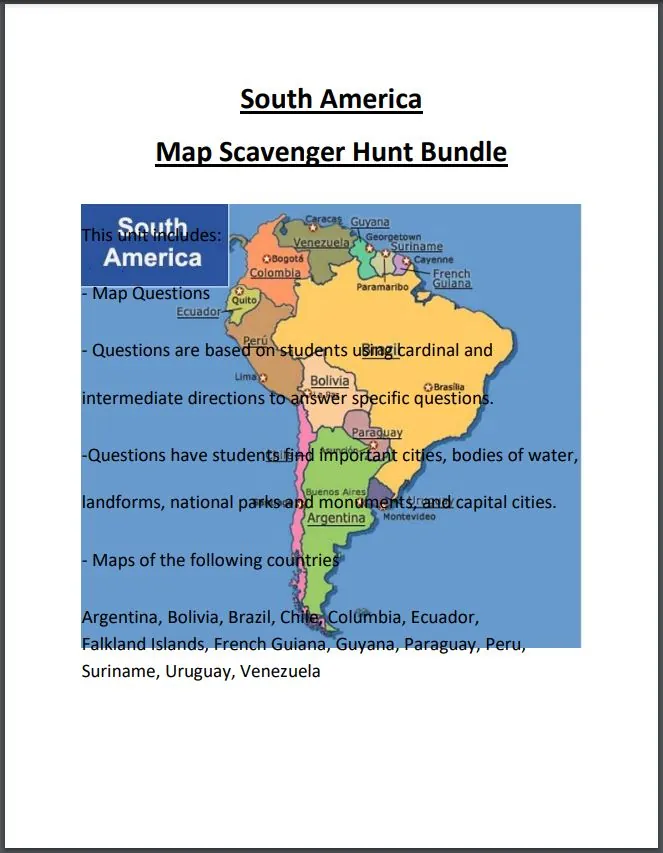
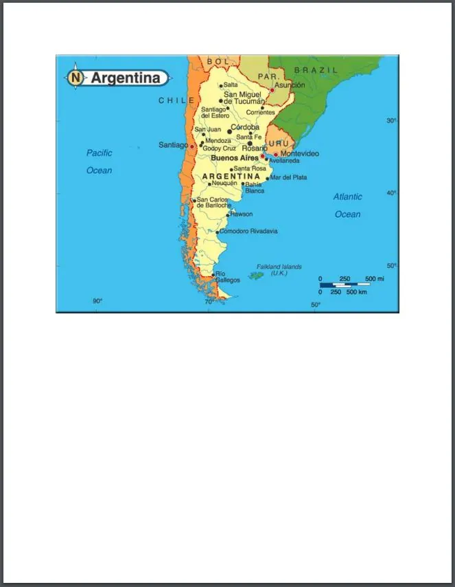
The South America Map Scavenger Hunt Bundle is a versatile social studies resource that allows students to reinforce geography skills while learning about countries across South America. Students are challenged to locate major South American countries on detailed maps, then answer questions that encourage critical thinking. Countries and territories featured include Argentina, Bolivia, Brazil, Chile, Colombia, Ecuador, Falkland Islands, French Guiana, Guyana, Paraguay, Peru, Suriname, Uruguay, and Venezuela. With over 50 pages of engaging map activities, this bundle enables educators to facilitate whole class instruction, small group work, or independent practice according to their students' needs and ability levels. The South America Map Scavenger Hunt Bundle is an interactive way to build middle school students' spatial awareness and knowledge of South American geography.
Related resources
More resources teachers may find useful
24 related resources were found using this product's title, contributor, categories and tags.


In the classroom
Teaching tips & learning objectives

Learning objectives
Use cardinal and intermediate directions (north, southwest, northeast, etc.) to locate a place relative to a reference point on a map
Identify the capital city of each South America country from its outline map
Name the countries, oceans, and major physical features (rivers, mountain ranges) that border a given South American country

Teaching tips
Work through one country as a whole-class model before assigning the rest independently, since every country's question set follows the same direction-based format
Assign countries in small groups for a scavenger-hunt station rotation, since each country's map and questions form a self-contained set
Review intermediate directions (southwest, northeast) before starting, since several questions use that vocabulary alongside cardinal directions and other location tasks

Skills covered
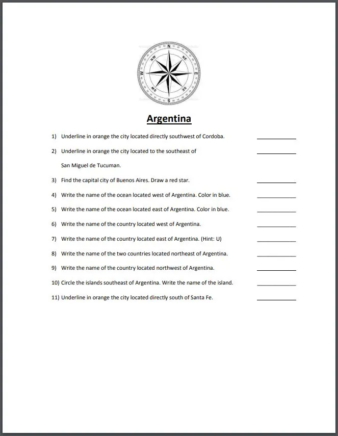
Compass-direction map reading — students locate cities and features using cardinal and intermediate directions (e.g., 'the city located directly southwest of Cordoba').
Political geography of South America — students identify each country's bordering nations and capital city across fourteen countries and territories.
Map-marking conventions — students underline, circle, trace, or draw symbols in specified colors to record findings directly on the map.

No reviews yet
Downloaded this resource? Tell other teachers how it went.
Resource details
Concepts & topics
Core concepts
 Core concepts
Cardinal and intermediate directions
South American political geography
Physical geography (rivers, mountains, oceans)
Map skills
 Topics
Explore more
Categories this resource belongs to
Explore related searches
More to explore
You may also like