Syria Map Resources


About This Product
Syria Map Resources
Introducing our informative and concise, Syria Map Resources. This carefully collated collection is ideal for educators teaching geographic concepts and locations
The package of Syria Map Resources includes:
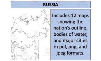
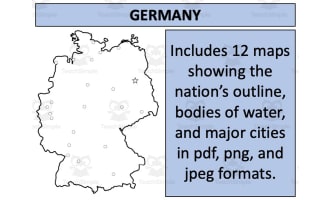
Twelve individually formatted map sheets which cater to a variety of educational needs.
Three accessible formats: pdf, jpeg, png offering flexibility based on personal preferences or specific lesson requirements.
Variation in detail level -- from basic country outlines for memory challenges to detailed waterbody-labelled maps for aquatic geography understanding; not forgetting ones highlighting key settlements aiding urban geography studies. Furthermore, the maps not only display Syria in detail but also showcase its place geographically among neighboring nations promoting broader perspective comprehension.
The unique feature of incorporating these maps into their own original material given they adhere to guidelines provided on the preview sheet—excellent utility for creating custom-made assignments or learning modules!
This multi-use Syria Map Resources resources package is tailored towards social studies subjects with a focus on geography. Crafted to suit all grade levels and available within easy-to-use Zip files. You can enhance your teaching experience through engaging and effective means! With us, get uncomplicated yet comprehensive education tools that provide accurate instruction through user-friendly platforms.
Resource Tags
0 Reviews
Check out these other great products