Types of Maps Worksheets
- Grades
- Grades 3–5
- Pages
- 41
- File type
- Answer key
- Included


- Subject
- Social Studies, Geography
- Topic
- Map types, Map scale
- Resource types
- Worksheets, Posters
- Answer key
- Included
Product description
From the author
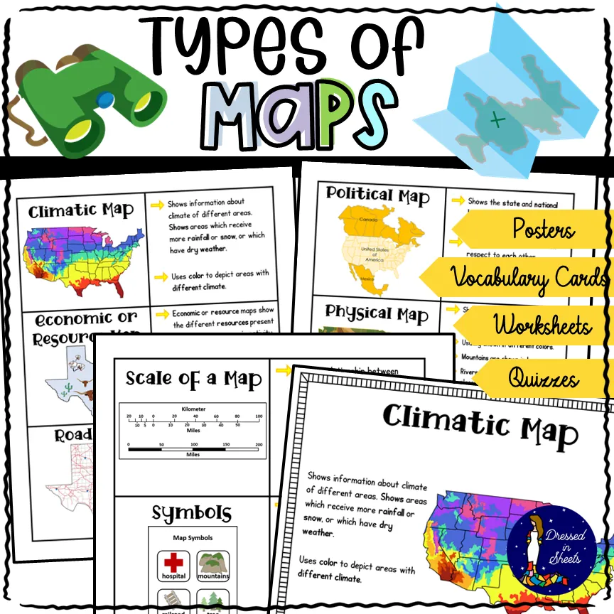
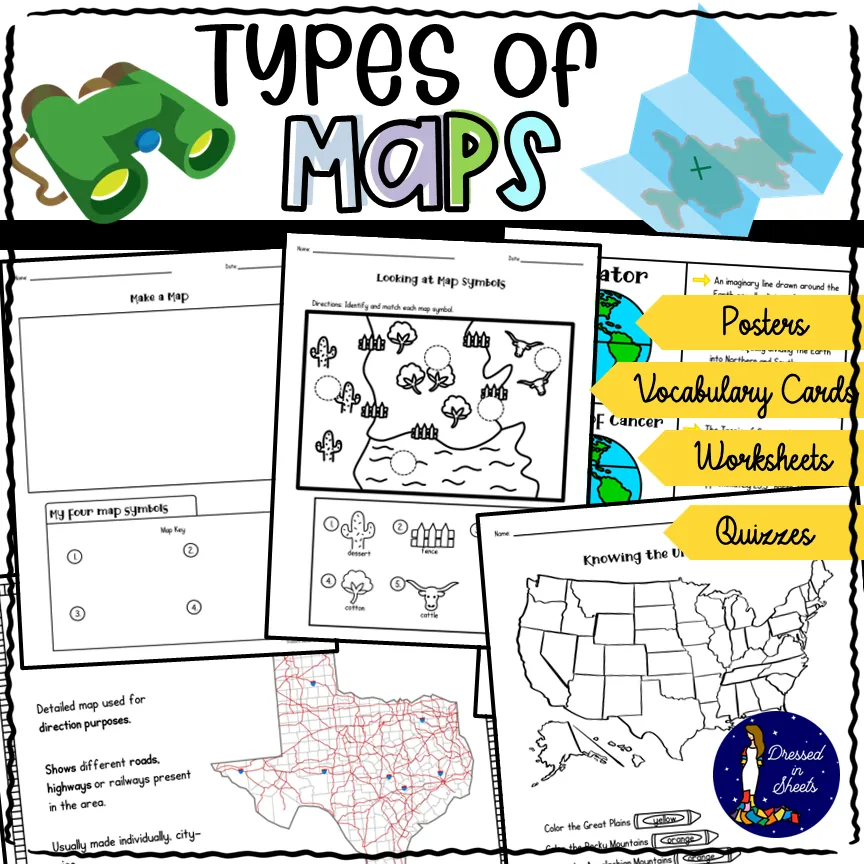
This resource covers six kind of maps:
Political maps
Physical maps
Topographic maps
Climatic maps
Economic / Resource maps
Road maps
Not only does it explain to students what each map means but also explains what scales and map symbols are used for.
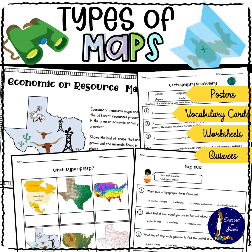
There is a quiz, cut and paste activities, fill in the blanks, map symbols activity, make your own map and key project, draw that map activity, and more!
There is plenty of projects to create if you let your creativity come afloat!
For example poster projects and interactive journals.
The student will also get to create 6 flip cards to demonstrate their knowledge of the 6 different kinds of maps. They may even paste their flip cards on their journals or poster board to make great bulletin boards. Includes full page posters to use in your classroom!
Enjoy!
Related resources
More resources teachers may find useful
24 related resources were found using this product's title, contributor, categories and tags.



In the classroom
Teaching tips & learning objectives

Learning objectives
Define and distinguish six map types: political, physical, topographic, climatic, economic/resource, and road maps
Identify map scale, symbols, and legends and explain what each is used for
Apply map-type knowledge by drawing original road, climatic and topographic maps of their own state

Teaching tips
Introduce the six map-type posters and the condensed two-page summary posters together as a single visual reference before assigning any worksheet
Use the vocabulary flap-card set as a review station after the posters, since it repeats the same six map-type descriptions in cut-and-glue form
Use the multiple-choice map quiz as a checkpoint before the open-ended drawing tasks, since its answer key allows quick self- or peer-checking

Skills covered
Map-type identification — students match six map types (political, physical, topographic, climatic, economic/resource, road) to their descriptions across the cut-and-glue, flap-card, and quiz activities.
Original map creation — students design their own map symbols and key, then draw a neighborhood map, a US-features map, and road/climatic/topographic maps of their own state.
Written reflection — students explain in their own words why maps are important on the closing worksheet.
Good to know
Questions teachers ask about this resource
Are answer keys included?
Yes. Key pages support matching, vocabulary, quiz and other fixed-answer tasks. Map drawing and written reflection can produce different valid responses.

No reviews yet
Downloaded this resource? Tell other teachers how it went.
Resource details
Concepts & topics
Core concepts
 Core concepts
Map types (political, physical, topographic, climatic, economic, road)
Map scale, symbols, and legend
Latitude and longitude
Cardinal and intermediate directions
 Topics
Explore more
Categories this resource belongs to
Explore related searches
More to explore
You may also like