


Indiana Map Scavenger Hunt
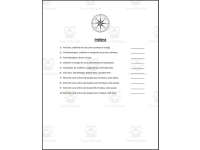
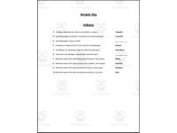
Indiana map scavenger hunt with 10 questions that send students around a state map to find cities, bodies of water, landforms and the capital using cardinal and intermediate directions.



- Grades
- Grades 4–6, Elementary, Middle School
- Pages
- 4
- File type
- Preparation
- Print ready


- Subject
- Social Studies, Geography
- Topic
- indiana, map skills
- Resource types
- Worksheets & Printables, Worksheets
- Preparation
- Print ready
About this resource
What's inside this resource
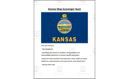
Introducing an Indiana Map Scavenger Hunt for grades 4-6 students to reinforce map skills and geography concepts. This 4-page PDF includes a map of Indiana along with questions that have students locate important cities, bodies of water, landforms, national parks and monuments, and the state capital using cardinal and intermediate directions. An engaging way for students to practice reading maps while learning about key geographical features of Indiana. Can be used individually or in small groups with the whole class. Pairs well with lessons on Midwest geography or a broader study of United States regions. From the makers of popular state-by-state and U.S. regional map scavenger hunt bundles used by teachers nationwide.
Related resources
More resources teachers may find useful
24 related resources were found using this product's title, contributor, categories and tags.
In the classroom
Teaching tips & learning objectives

Learning objectives
- Locate cities, bodies of water and the capital on an Indiana map
- Identify Indiana's neighboring states by direction

Teaching tips
- Directions call for orange, blue, yellow, purple, pink and red, so set out colored pencils or crayons in those colors.

Skills covered
- Using compass directions — marking places described with cardinal and intermediate directions

No reviews yet
Downloaded this resource? Tell other teachers how it went.
Resource details
Concepts & topics
Core concepts
 Core concepts
- Cardinal directions
- Intermediate directions
- Map reading
- Indiana geography
 Topics
Explore more
Categories this resource belongs to
Explore related searches
More to explore
You may also like

Worksheets & Printables, Worksheets


Worksheets & Printables, Worksheets
Worksheets & Printables, Worksheets
Worksheets & Printables, Worksheets
Worksheets & Printables, Worksheets

Worksheets & Printables, Worksheets