Globe and Map Skills Activity Packet and Worksheets
- Grades
- Grades 2–5, Elementary
- File type
- Preparation
- Print ready


- Subject
- Science, Earth and Environmental Sciences, Earth Sciences
- Topic
- map, geography
- Resource types
- Worksheets, Worksheets & Printables
- Preparation
- Print ready
About this resource
What's inside this resource
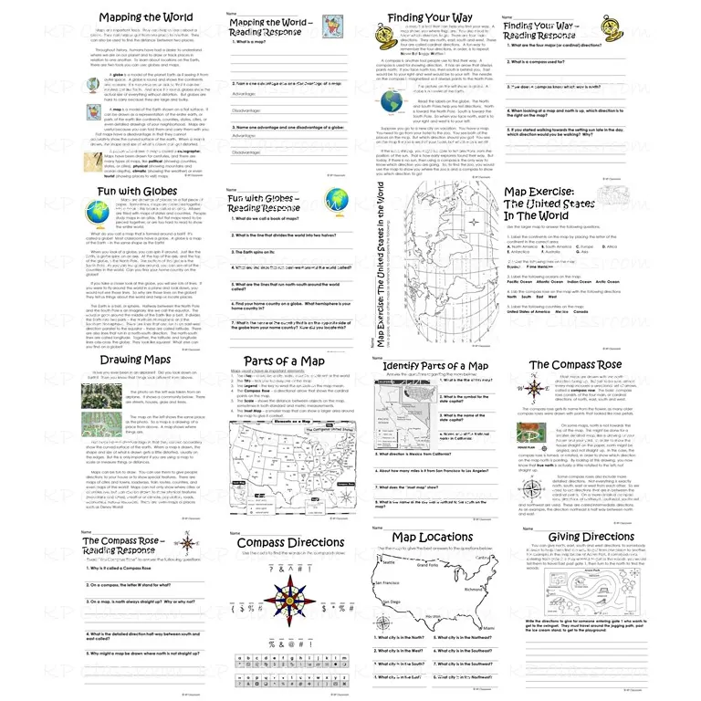
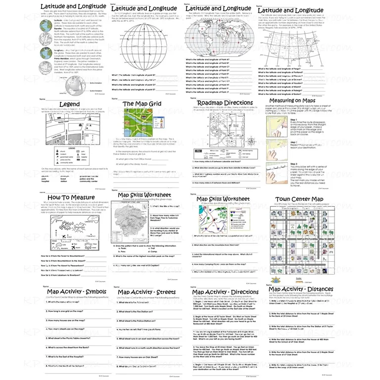
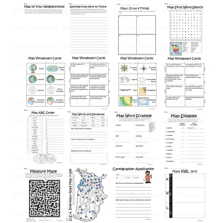
This " Globe and Map Skills Activity Packet and Worksheets " is no prep required - so the packet is great as printable worksheets for a map skills unit or extra work or sub plans or to enhance a literacy or math unit.
Many of these activities are options for kids at all levels between Grades 2 and 5. Please note that not all activities in this packet will meet your class' particular levels, but there should be enough variation in the resources from your high flyers to those that are more challenged.
Related resources
More resources teachers may find useful
24 related resources were found using this product's title, contributor, categories and tags.


In the classroom
Teaching tips & learning objectives

Learning objectives
Explain the difference between a globe and a map, including one advantage and one disadvantage of each.
Use the four cardinal directions and a compass rose to describe location and direction on a map.
Identify latitude, longitude, the prime meridian, and the equator on a map or globe.

Teaching tips
Pair each reading passage with its matching reading-response worksheet right after reading it, since the packet is built as eight passage-and-response pairs rather than one long reading followed by questions.
Print the vocabulary cards double-sided so the term and definition stay matched (pages 40-43), since each card's definition is printed on a separate 'back' page aligned to the same position as its term.
Use the Cartographer Application (page 50) as a fun wrap-up after the vocabulary and skills sections, since it asks students to apply what they've learned to their own imagined map-making career.

Skills covered
Globe-vs-map comparison — students name an advantage and disadvantage of each tool after reading 'Mapping the World' (pages 2-3).
Cardinal direction and compass use — students apply north/east/south/west and the compass rose to a town-center map (pages 4, 13, 33).
Latitude/longitude and hemisphere identification — students read about the prime meridian, equator, and northern/southern hemispheres (page 18).
Good to know
Questions teachers ask about this resource
How does the town-center map exercise differ from the neighborhood-mapping task?
The town-center exercise (page 33) gives students a pre-drawn street map with named streets to practice reading, while the neighborhood task (page 30) asks students to draw their own map from scratch.
What does the 'Cartographer Application' ask students to do?
Students answer why they'd want to be a cartographer and what kind of maps they would choose to draw, turning the packet's map-skills content into a short personal reflection.

No reviews yet
Downloaded this resource? Tell other teachers how it went.
Resource details
Concepts & topics
Core concepts
 Core concepts
cardinal directions
latitude and longitude
map vocabulary
globes vs. maps
 Topics
Explore more
Categories this resource belongs to
Explore related searches
More to explore
You may also like