Israel Map Resources – Geography & Social Studies


About This Product
Overview: Israel Map Resources
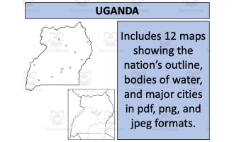
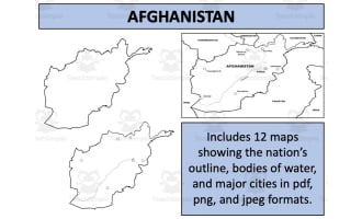
The Israel Map Resources is an instructive asset primarily designed for educators in public schools and homeschooling settings. This resource provides users with detailed maps of Israel, formatted digitally in PDF, JPEG, and PNG formats. A useful tool for teaching social studies and geography across all grade levels.
User Benefits
The key feature of this product is its ease-of-use. Included are twelve individual map sheets showing various perspectives of Israel. These consist of:
Blank outlines for practicing geography skills
Detailed maps highlighting bodies of water and major settlements in the country.
Perspectives showing Israel both alone and in relation to neighboring nations
This variety allows a nuanced study of regional geopolitics or history.
Educational Maps Lot Range Possibilities
a unique attribute enhancing these maps' scope is the possibility to incorporate them into your own educational materials following guidelines listed on the preview sheet.
Making Lives Easier For Educators & Parents Alike
In considering your experience, all files have been conveniently packaged within one Zip file making downloading smoother - Ensuring school administrators or home-educating parents focus more on real-time teaching rather than handling complex data files. Still maintaining perspective though powerful in delivering geographical education this set should not replace accurate up-to-date sources when studying current global politics including but not limited to Israel itself.
Resource Tags
0 Reviews
Check out these other great products