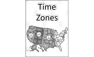
Time Zones Worksheet Using Google Earth Mapping Skills


About This Product
Mapping Skills with Google Earth: Latitude, Longitude and Time Zones
This teaching resource is perfect for third to fifth-grade educators focused on teaching students how to read and create maps. Students will delve into the elements of a map including lines of latitude, longitude and also distinct time zones.
This versatile tool can be used in various educational environments such as traditional classrooms, or even in a home-schooling scenario. It adapts well to whole-group instruction or can be broken down into small group workshops focusing on different aspects.
The resource leverages the power of Google Earth™ technology. This interactive feature allows students to manipulate visual representations - strengthening their understanding of theories.
- Topographic and choropleth maps:
- Reading passages:
- Interactive elements:
- Crossword puzzles help in reinforcing new knowledge learned while keeping pupils engaged
- A word search element is present which assists in homework assignments or revision before assessment periods
This function makes geographical features tangible. It focuses on countries globally as well as North America's states and provinces providing deep insights about diverse global geographies.
Included reading supplements cater to an improved literacy standard while aligning with the Common Core State Standards requirements. These passages enhance subject understanding.
Comprehension Quiz Included
A comprehensive quiz included within this package aids Teachers track progress made by educating using our pedagogical materials. Mapped For Success : Mapping Skills with Google Earth aims to instill mapping skills by fusing technology with traditional teaching methods. Transforming theoretical knowledge into an immersive, practical learning experience.Use this latitude and longitude worksheet for extra practice reading coordinates on a world map.
What's Included
Contains 1 Product File
Resource Tags
0 Reviews
Check out these other great products