Mapping Skills with Google Earth: Mapping Cultural Features


About This Product
Mapping Skills with Google Earth: Mapping Cultural Features
This teaching resource has been meticulously developed for third to fifth-grade educators. It is aimed at augmenting their social studies and geography course curriculum whilst instilling crucial mapping skills in pupils. Students are introduced to cardinal elements like latitude, longitude, and time zones.
Gaining Insight into Geographical and Cultural Features
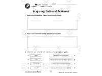
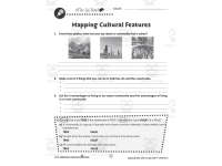
- An in-depth exploration of geographical and cultural features through topographic maps, choropleth maps, and more.
- A effective way to perceive global diversity across countries.
- An understanding of North America's provinces and states.
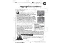
The added feature of Google Earth visuals makes learning an interactive process. This novel approach not only enables clear comprehension but also helps students retain the information longer—an advantageous skill set applicable beyond just geography or social studies.
Diverse Teaching Methods & Student Engagement Tools
The product comes as a single PDF containing 27 ready-to-print pages, facilitating educators for a varied upshot:
- Whole group instruction:} Extensive collaborations within classrooms garnering collective ideas.
- Small group activities:} Enables focused groups working on pertinent modules enhancing interaction.
- Solo-assignments:} Encourages home-enriched study modules catering individualistic learning trajectories.
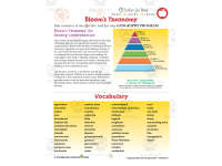
In addition, the inclusion of reading passages alongside structured map-centric exercises such as crosswords and word searches aids practical knowledge assimilation in an enjoyable manner among students. Moreover, a well-crafted comprehension quiz aligned with Bloom's Taxonomy principles and Common Core State Standards helps measure students’ progress skillfully.
In summary, Mapping Skills with Google Earth: Mapping Cultural Features is an invaluable asset for educators seeking to develop robust geographical acumen among their learners, blending traditional instruction methods seamlessly with visual aid technology via Google Earth.
What's Included
1 PDF with 27 ready to print pages
Resource Tags
0 Reviews
Check out these other great products