Cut and Paste World Map – 7 Continents Activity


About This Product
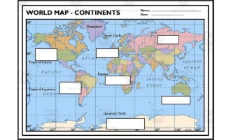
Cut and Paste Continents - World Map Continents
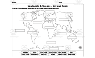
Cut and Paste Continents - World Map Continents is a fun and interactive worksheet that helps improve fine motor skills and promotes knowledge of the world's continents. Students are encouraged to actively participate in discovering and identifying the various Continents on a global world map through this practical exercise.
Students will carefully cut out the labels for the continents of the world Europe, North America, South America, Africa, Antarctica, Asia, and Australia, and then carefully paste them onto the appropriate regions of the blank globe map on the worksheet. This tactile method improves manual dexterity and hand-eye coordination in addition to reinforcing geography information.
Students are more likely to remember facts about the Continents of the world and their locations if they actively participate in the cutting and pasting process.
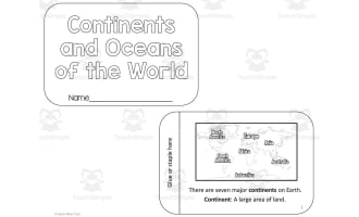
The seven continents of the world : Europe, North America, South America, Africa, Antarctica, Asia, and Australia.
Answer key is provided to allow for self-assessment and immediate feedback, encouraging students to take ownership of their educational journey.
Implementation Format: Letter size, landscape.
File types: pdf
Number of Pages: 2
Grades or ages: Grade 3, Grade 4, Grade 5, Grade 6, Grade 7, and Grade 8.
Resource Tags
0 Reviews
Check out these other great products