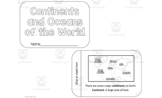
Label the Continents and Oceans – Map Activity
- Grades
- Grades 2–4, Elementary
- File type
- Preparation
- Print ready


- Subject
- Social Studies, Geography
- Topic
- social studies, geography
- Resource types
- Activities
- Preparation
- Print ready
About this resource
What's inside this resource
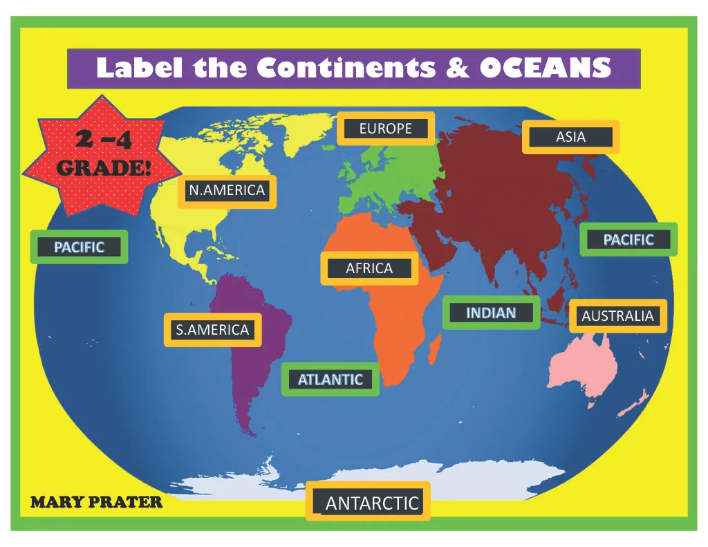
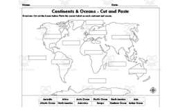
This is a Label the Continents + Oceans Activity.
It is a great interactive hands-on activity that will allow your students to label the map with Velcro, magnets or something else sticky.
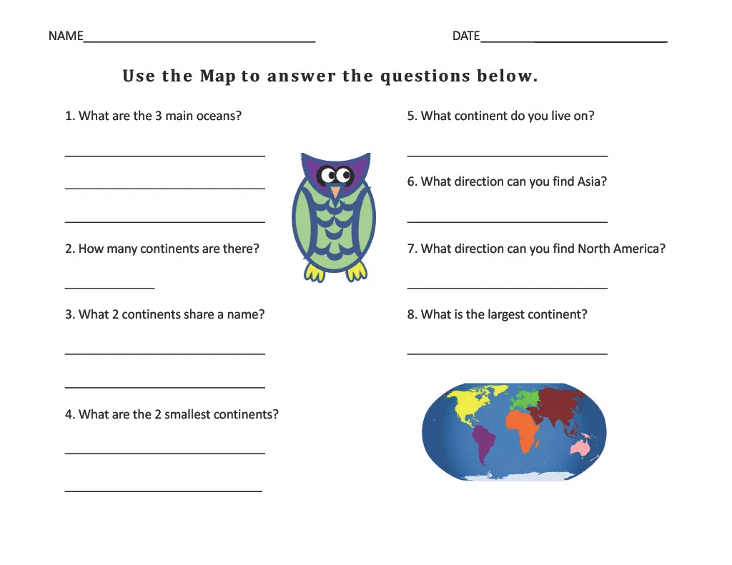
There are worksheets included in which they will answer comprehension questions.
Related resources
More resources teachers may find useful
24 related resources were found using this product's title, contributor, categories and tags.

In the classroom
Teaching tips & learning objectives

Learning objectives
Name the seven continents and place each one correctly on a blank world map
Locate and label the oceans in relation to the surrounding continents
Describe where a continent lies using compass directions rather than pointing at it

Teaching tips
Follow the assembly order the file gives — print on card stock, laminate, then cut — because the labels are handled repeatedly once the map runs as a centre
Match the fastener to the age group: the notes say Velcro dots work well, magnets require the map on a cookie sheet, and blue poster putty is easiest but younger students tend to play with it
The assembly page suggests running more than one copy for centre time, study hall or ESL and ELL groups, so build several sets while the laminator is already out. Students can try placing the names independently with these continents and oceans worksheets.

Skills covered
Continent identification — students place seven cut-out labels from N.AMERICA to ANTARCTICA onto their correct positions on a blank world map.
Locating oceans — ocean labels are cut out alongside the continents, and the marking worksheet directs students to label the oceans on their own copy of the map.
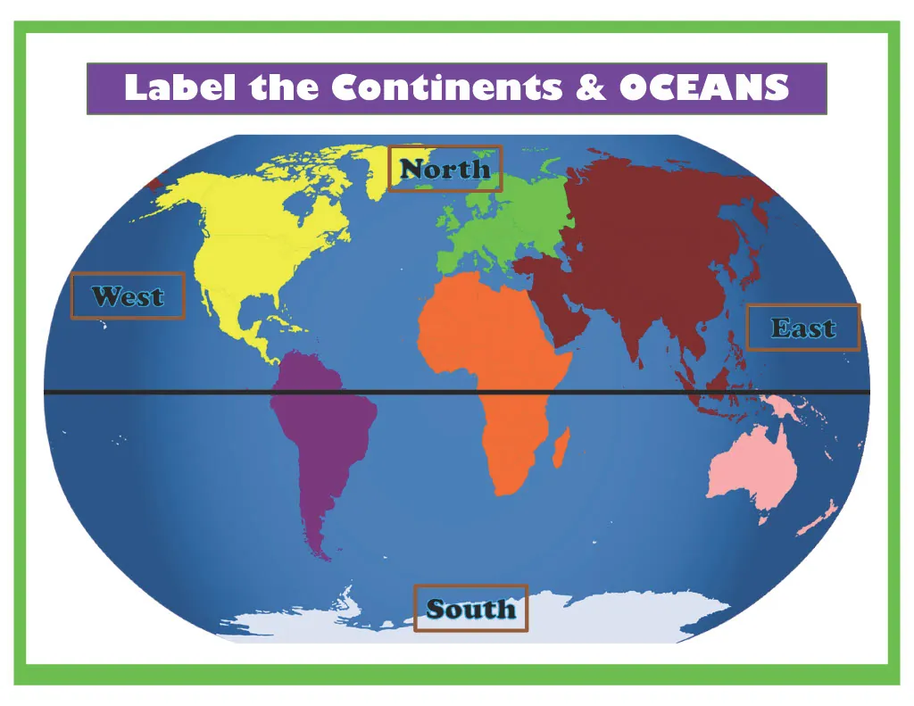
Using compass directions — two questions ask what direction Asia and North America can be found in, and the marking sheet asks students to label North, South, East and West.
Good to know
Questions teachers ask about this resource
What does a teacher need to put the map together?
Card stock and a laminator, plus one of three fasteners the file names: Velcro dots, magnets with sticky backing paired with a cookie sheet behind the map, or blue poster putty. The directions note the putty is easiest but that younger students tend to play with it.
How does the worksheet treat the oceans?
It works with three. Question 1 reads "What are the 3 main oceans?", and ocean labels are cut from the label sheet during assembly. A class taught the five-ocean convention, with the Southern and Arctic included, will want to settle which three are intended before starting.

No reviews yet
Downloaded this resource? Tell other teachers how it went.
Resource details
Concepts & topics
Core concepts
 Core concepts
Continents
Oceans
World map
Cardinal directions
Equator
Topics
 Topics
Explore more
Categories this resource belongs to
Explore related searches
More to explore
You may also like