search
user.png
vertical menu

Landmarks and Landforms of Antarctica | Continent of Antarctica Unit Study

Landmarks and Landforms of Antarctica | Continent of Antarctica Unit Study preview
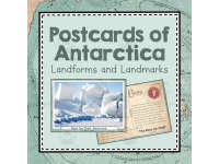
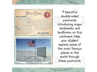
Landmarks and Landforms of Antarctica | Continent of Antarctica Unit Study preview 2
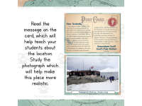
Landmarks and Landforms of Antarctica | Continent of Antarctica Unit Study preview 3
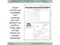
Landmarks and Landforms of Antarctica | Continent of Antarctica Unit Study preview 4

Look Inside · 10 pages

Cover of Postcards of Antarctica: Landmarks and Landforms, showing sample photo and student-note sides
Cover introducing the Antarctica postcard set
Postcard instructions: choose a measurement system, print, cut, glue, laminate, and read the cards
Preparation and reading instructions for the postcards
Metric System divider introduces the metric cards and asks teachers to choose their classroom's measurement system
Divider introducing the metric version
South Pole metric postcard pairs a student note about the pole and explorers with a flag and marker photo
South Pole postcard: note and photograph
Cape Renard metric postcard pairs a note about rock needles and Lemaire Channel with a snowy peaks photo
Cape Renard postcard: note and photograph
Amundsen-Scott South Pole Station metric postcard pairs a research note with a photo labeled Research Station
Research station postcard: note and photograph
Metric postcard labeled Vison Massif pairs a snowy mountain photo with a note about climbing and glaciers
Vison Massif postcard: note and photograph
Ross Ice Shelf metric postcard pairs an ice formation photo with a note about floating ice and James Ross
Ross Ice Shelf postcard: note and photograph
Deception Island metric-set postcard pairs a coastal photo with a note about its volcanic caldera and harbor
Deception Island postcard: note and photograph
Mount Sidley metric postcard pairs a snowy mountain photo with a note about its caldera and remote climb
Mount Sidley postcard: note and photograph
Attributes
Add To Collection
Add to collection Add to collection

About This Product

9 postcards featuring landmarks and landforms found in Antarctica. Set comes with 9 activity pages, 1 worksheet , 1 fact cube template, and 1 report template so students can practice, enjoy, and reinforce skills. Each postcard is double sided with a beautiful photo on one side and a post-note on the other directed towards the students. Don't worry- this product comes in both metric and imperial measurement systems so you can enjoy no matter how you measure! This is a fantastic way to study landmarks and landforms of the Antarctic continent during your Antarctica unit study!


How To Use This:

Look through all the resources and decide which ones to use. Print the postcards double sided (or print and lightly glue). Laminate for re-use. Use these as resources to learn about countries, landmarks, or landforms. Use them to write reports, or give oral presentations. Color and cut out stamps to put in your "Passport" to show you've learned about that country! Play the "I have, Who has" game as review!


What You Get:

  • 9 double sided postcards of landmarks and landforms using the metric measurement system.

  • 9 double sided postcards of landmarks and landforms using the imperial measurement system.

  • 9 half-page activities for each landmark and landform

  • Fill in the Blank worksheet

  • 1 fact cube to fill out and assemble

  • 1 report template


Want More Antarctica Study Resources?:

*I have resources like this for every continent. So make sure to check them out if your'e trying to put together a comprehensive geography study!


Check out other resources from my store: Simply Schoolgirl!


I can be contacted for questions and concerns at simplyschoolgirl1@gmail.com

What's Included

1 zip file with:

-1 PDF with 31 ready to print pages

-Google Doc w/ product description

-Preview images

0 Reviews

Explore related searches
you may also like...

Check out these other great products