Landmarks and Landforms of South America - Postcard Unit



- Grades
- Grades 3–6
- Pages
- 50
- File type
- Multiple File Types


- Subject
- Social Studies, Geography
- Topic
- South America, Landmarks
- Resource types
- Worksheets, Activities
Product description
From the author
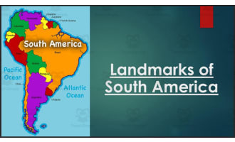
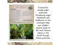
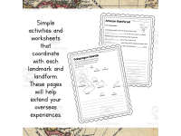
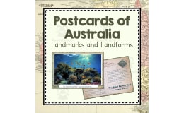
Postcards featuring famous landmarks and landforms found in South America including: Lake Titicaca, Los Pampas, Machu Picchu, Mount Cotopaxi, Amazon Rainforest, Cueva de los Manos, Cape Horn, Galapagos Islands, Easter Island, Ancient City of Chan Chan, Angel Falls, Andean Mountains, Christ the Redeemer, Rio de Janeiro, and Salar de Uyuni. Set comes with worksheet for each landmark and landform so students can practice, enjoy, and reinforce skills. Each postcard is double sided with a beautiful photo on one side and a post-note on the other directed towards the students. All these postcards are provided using both the metric and imperial measurement systems, so you can enjoy no matter how you measure!
How To Use This:
Look through all the resources and decide which ones to use. Print, cut out, and match each postcard’s front and back, then attach them as described in the directions. Laminate for re-use. Use these as resources to learn about countries, landmarks, or landforms. Use them to write reports, or give oral presentations.
What You Get:
- 15 double sided postcards using the metric measurement system.
- 15 double sided postcards using the imperial measurement system.
- A worksheet for each landmark or landform.
Want More South America Study Resources?:
- Postcards for South America: Landmarks and Landforms
- South America Unit Test
*I have resources like this for every continent. So make sure to check them out if you're trying to put together a comprehensive geography study!
Check out other resources from my store: Simply Schoolgirl!
- Countries of South America: Brochures and Activities
- Plants of South America: Informational Cards
- Animals of South America: Informational Cards
I can be contacted for questions and concerns at simplyschoolgirl1@gmail.com
Related resources
More resources teachers may find useful
24 related resources were found using this product's title, contributor, categories and tags.



In the classroom
Teaching tips & learning objectives

Learning objectives
Identify and describe 15 major landmarks and landforms of South America, including their country and geographic features.
Extract factual details (such as measurements, history, or wildlife) from an informational postcard to answer worksheet questions.
Compare and contrast personal experience with information learned about a landmark, such as a floating Uru home versus one's own home.

Teaching tips
Print, laminate, and organize the postcards on a book ring so they can be reused as a durable classroom set across multiple years.
Choose either the metric or imperial postcard set to match your classroom's measurement conventions, since both versions contain the same content otherwise.
Use the postcards as a rotating small-group presentation activity, assigning a few landmarks to each group to research and present to the class.

Skills covered
Geography research — students read informational text about a landmark and extract facts about its location, formation, and significance.
Reading comprehension and vocabulary — students complete fill-in-the-blank and definition tasks using content directly from a landmark's postcard text.
Compare and contrast reasoning — students use tools like a Venn diagram to compare their own life to details from a landmark's culture.
Good to know
Questions teachers ask about this resource
Why are the same 15 postcards provided in two separate sets, one metric and one imperial?
The postcard text includes specific measurements (such as island size or a statue's height), so the resource duplicates the full set in both metric and imperial units, letting a teacher print only the version that matches the measurement system used in their classroom rather than needing to convert on the fly.

No reviews yet
Downloaded this resource? Tell other teachers how it went.
Resource details
Concepts & topics
Core concepts
 Core concepts
South America geography
Landmarks and landforms
World cultures
Metric and imperial measurement
 Topics
More to explore
You may also like