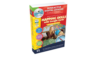
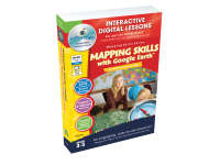
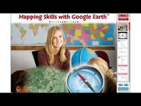
Mapping Skills with Google Earth - Digital Lesson Plan Gr. 3-5 | MAC Software


About This Product
Mapping Skills with Google Earth - Digital Lesson Plan Gr. 3-5 | MAC Software
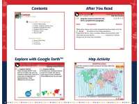
The Mapping Skills with Google Earth - Digital Lesson Plan Gr. 3-5 MAC software offers a comprehensive & innovative approach to teaching geography in grades three to five, by providing an engaging and highly interactive, 80-screen-page digital lesson plan.
Engagement in map reading and creation:
This educational resource explores various vital elements of a map such as lines of latitude, longitude, time zones, types of maps like topographic & choropleth along with geographical and cultural features offering students a deep comprehension of geographical layouts while experiencing cultural diversities.
Multimedia Learning Experience:
Moving beyond traditional study reinforcement methods; these plans include:
- Test preparation material.
- An array of engaging activities such as memory match games.
- A comprehension quiz ideal for analyzing the students' understanding post lesson completion.
Innovation: Google Earth™ component:
This feature allows exploration from space offering children real-time hands-on experience that aids them in identifying different provinces across North America along with countries worldwide!
Note: To accommodate language preferences it includes both English & Spanish Text-to-Speech features ensuring no one feels left behind due to language restrictions. TIP FOR USERS:The tool comfortably caters to any MAC software platform via an easily downloadable zip file providing utmost convenience! Mission Statement:Tailoring meaningful learning experiences based on State Standards under Bloom's Taxonomy. We aim to guide children beyond textbooks offering a more practical perspective of how our world is interconnected through 'maps'. Perfect for all educators who strive to create memorable yet impactful teaching moments!
What's Included
1 zip file with MAC software
Resource Tags
0 Reviews
Check out these other great products