USA States Map Clip Art Mega Bundle 107 Graphics for Social Studies

About This Product
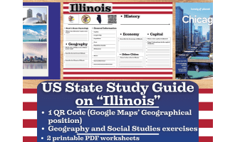
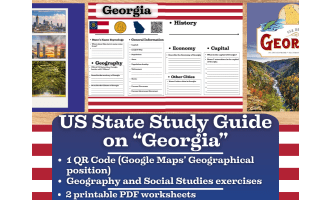
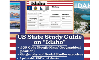
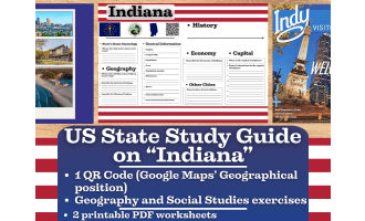
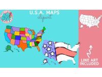
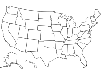
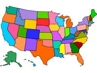
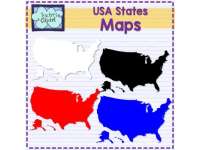
When creating instructional materials from scratch, having a trustworthy collection of US map visuals on hand saves a ton of time. This USA States clip art set gives resource creators a versatile, ready-to-use collection for a variety of geography-based projects. It contains 107 pictures covering each state as well as six complete USA maps.
Each state is included in both full-color and black-and-white line art versions in the collection, making it simple to modify visuals based on the finished output. While the line art versions are perfect for labeling activities, blank map worksheets, and student fill-in exercises—common forms in basic social studies and geography units—colored graphics perform well in digital resources, slideshow presentations, and printed reference materials.
This collection, which includes 107 graphics in one download, provides enough diversity to create several unique resources without the need to find photos elsewhere. Having individual state photos and complete national maps in the same bundle simplifies the process whether the final product is a cut-and-sort exercise, a state facts booklet, a geography test, or a U.S. regions unit.
For educators and resource developers creating resources for grades K–5, this package is ideal, especially for social studies, U.S. geography, and civics topics. Any final project will have a polished, unified appearance thanks to the graphics' clear, uniform design.
This set is worth having in your design library if you frequently develop elementary geography resources and find yourself looking for the same kinds of map graphics.
Resource Tags
0 Reviews
Check out these other great products