Algeria Map Resources


About This Product
Algeria Map Resources: An Educational Package
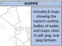
This teaching aid, not specific to any grade, consists of six varied map sheets. It's designed with compactness in mind, coming as a Zip file for easy storage and handling. The material encompasses PDFs, JPEGs, and PNG formats for flexibility.
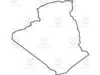
Includes maps that portray Algeria alone or along with neighboring nations
Variety in map types—blank outlines for memory testing or filled variants displaying key features like major bodies of water and principal settlements
Permits use in personal products following the instructions on the preview sheet—a valuable feature for educators creating custom resources
Bonus & Bundled Offers:
If you're looking to broaden your mapping resources beyond Algeria, you also get access to United States Maps at no extra cost. For those interested in comprehensive geography studies—there's an opportunity to access maps from 194 different nations at a discounted rate within the complete bundle.
Potential Users:
This product is particularly relevant among public school teachers drafting lesson plans related to international studies/geography lessons. In addition, homeschoolers can benefit by infusing their curriculum with world geography through such handy worksheets.
This Algeria Map Resources is a ready to use resource and all you have to do is print!
0 Reviews
Check out these other great products