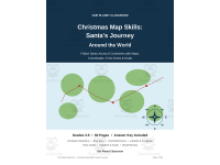
Christmas Map Skills: Santa's Journey Around the World



About This Product
Santa has one night to deliver presents to children all over the world, and he can only do it with good maps. This 60-page Christmas pack for Grades 3-5 turns Santa's delivery night into a geography course: students follow his real route across 6 continents and 18 real cities, and practise a new map skill at every stage of the journey.
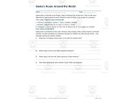
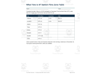
The pack opens with a teacher guide and an 8-day plan, then teaches four map tools: compass directions and the 8-point compass rose, map keys and legends, grid references, and scale bars. Students then travel with Santa, one page per stop, from Kiritimati in Kiribati — one of the first places on Earth to reach Christmas Day — through Auckland, Sydney, Tokyo, Beijing, Bangkok, Mumbai, Dubai, Moscow, Cairo, Paris, London, Reykjavik, Rio de Janeiro, New York, Mexico City, and Los Angeles, finishing in Honolulu. Each stop page gives the city's country, continent, latitude, longitude, time zone, and local time, plus a map activity.
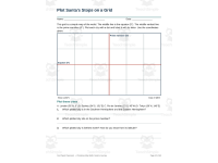
Later sections build on the route: latitude and longitude, hemispheres, plotting cities on a grid, and a mystery-city challenge; time zones, including the International Date Line and daylight saving in the Southern Hemisphere summer; and distance and scale, measuring the route at 1 cm = 1,000 km and working out a total of about 63,000 km. Two mixed-review pages and three quizzes check the whole pack, and complete answer keys on pages 55-60 cover every activity. All student pages are blank for students to complete, with name and date lines, and the pack prints in black and white. It works as a December unit, a geography supplement, or a set of stand-alone worksheets for Grades 3, 4, and 5.
Resource Tags
0 Reviews
Check out these other great products