U.S. Territories Activity Pack: Islands, Flags & Capitals


About This Product
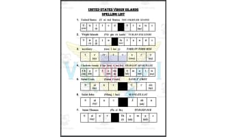
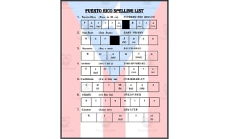
Most students can name the 50 states — but what about the five places where Americans live that are NOT states? This 30-page print-and-go pack introduces Puerto Rico, Guam, the U.S. Virgin Islands, the Northern Mariana Islands, and American Samoa: where each territory is, what its capital is, which ocean it sits in, and how a territory is different from a state.
What's inside:
- A big-picture explainer: what a U.S. territory is
- A two-ocean sorting map activity (Caribbean Sea vs. Pacific Ocean)
- One short reading with questions for EACH territory — geography and government focus
- Capitals matching, simplified flags matching, peoples and languages matching
- Territory-or-state sorting, citizens-and-nationals sorting (factual and neutral)
- A timeline ordering activity (1898–1976)
- A comparison chart, a 12-word word search, and a 15-word crossword
- A review quiz, a true-or-false check, a postcard writing page, and cut-out fact cards
- A creative "design your own island flag" activity
- Full answer keys for every keyed activity (pages 25–28), including word search and crossword solutions
Maps and flags in this pack are simplified classroom drawings, not to scale. Facts — including capitals, acquisition years, and the citizen/national distinction — were checked against standard references. The pack describes territorial status factually and takes no position on statehood.
Grades 3–5. Prints well in black and white; color is never required.
From Our Planet Classroom.
Resource Tags
0 Reviews
Check out these other great products