Greece Map Resources – 12-Map Geography Pack

- Grades
- Grades 4–7
- File type
- Multiple File Types


- Subject
- Social Studies, Geography
- Topic
- Greece map, Greek geography
- Resource types
- Worksheets & Printables
Product description
From the author
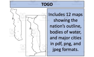
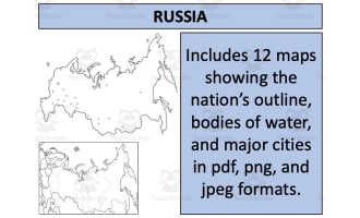
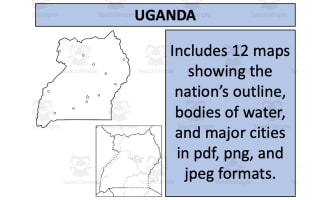
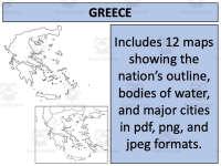
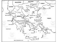
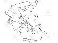
Twelve map views show Greece’s outline, cities, surrounding waters and neighboring countries, from blank to more detailed versions. The ZIP includes a combined PDF and matching PNG and JPEG images for printing or projection. Use them as geography references or supply your own labeling task. The neighboring-country label Macedonia needs updating to North Macedonia.
Related resources
More resources teachers may find useful
24 related resources were found using this product's title, contributor, categories and tags.
In the classroom
Teaching tips & learning objectives

Learning objectives
Locate Greece and identify its outline relative to neighboring countries such as Albania, North Macedonia, Bulgaria, and Turkey
Identify major Greek cities including Athens, Thessaloniki, and Irakleion on Crete

Teaching tips
Use the individual PNG or JPEG files to print or display one map at a time, such as for a bulletin board, since 12 separate images are included alongside the combined PDF
The source labels the neighboring country Macedonia; explain that its current name is North Macedonia. Use the blank variants if you want students to add current labels.

Skills covered
Map reading — locate Greece, its neighboring countries, cities and surrounding seas using increasingly labeled views.

No reviews yet
Downloaded this resource? Tell other teachers how it went.
Resource details
Concepts & topics
Core concepts
 Core concepts
Geography
Maps
Greece
 Topics
Explore more
Categories this resource belongs to
Explore related searches
More to explore
You may also like