Me on the Map Activity | U.S. & Canada Circle Book Activity
- Grades
- K–3
- Pages
- 80
- File type
- Microsoft PowerPoint
- Editable
- Yes


- Subject
- Social Studies, Geography
- Topic
- Me on the map, Map skills
- Resource types
- Activities
- Editable
- Yes
Product description
From the author
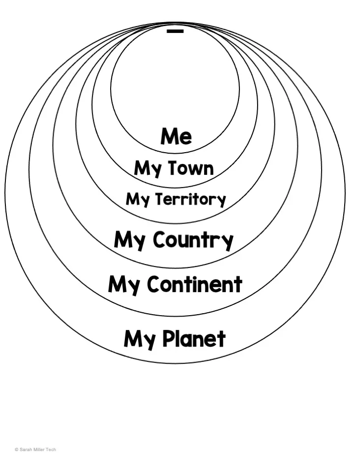
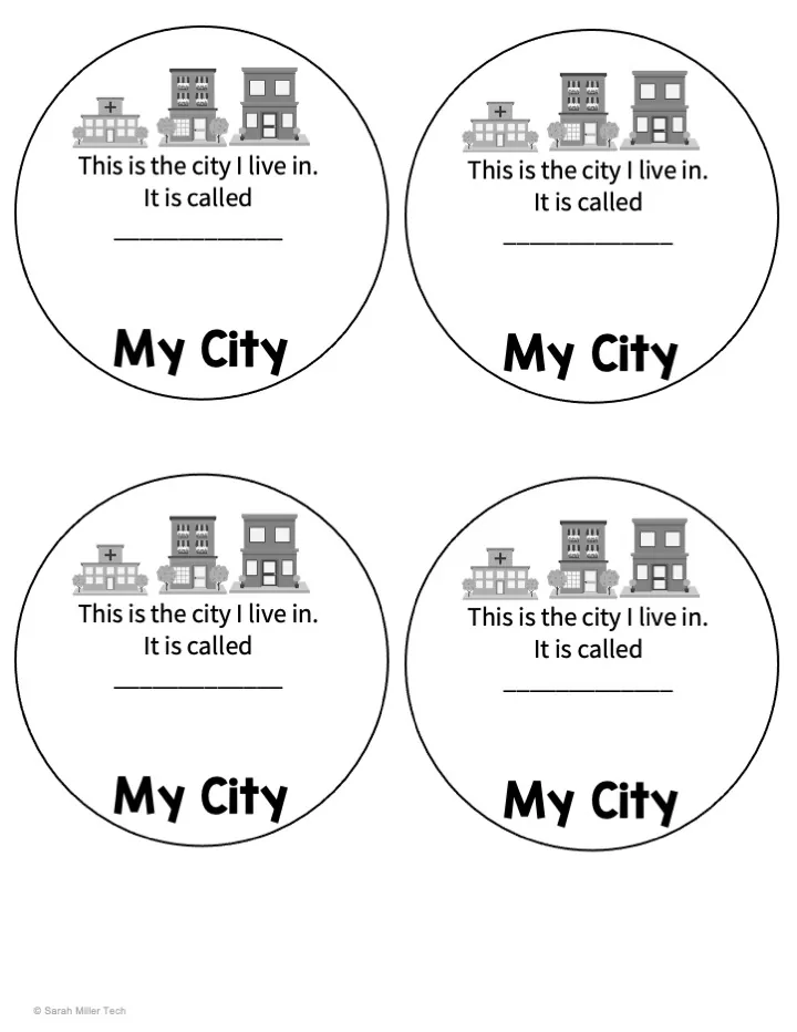
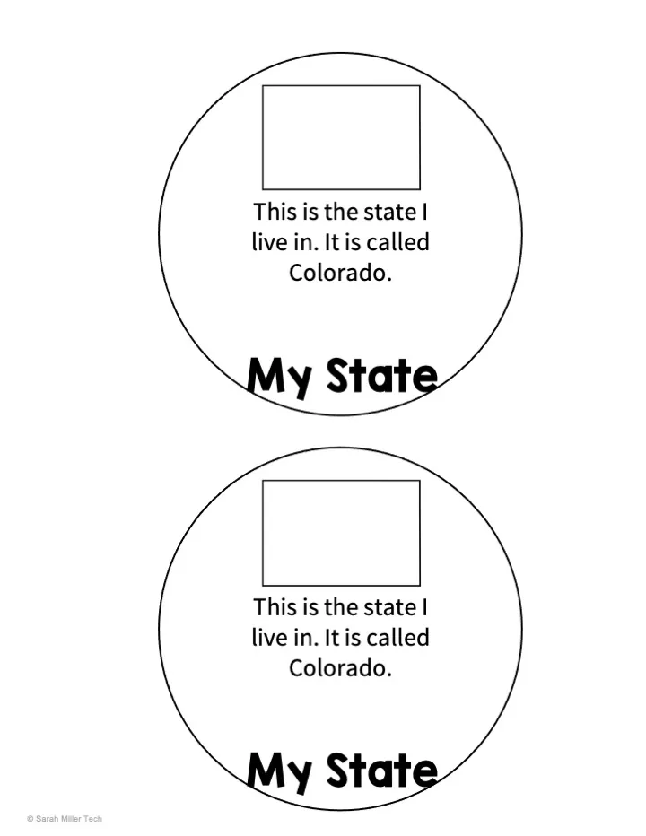
This resource is a Me on the Map Circle Book Activity.
This is a fully editable activity that includes all 50 U.S. states and all 10 Canadian provinces and 3 territories.
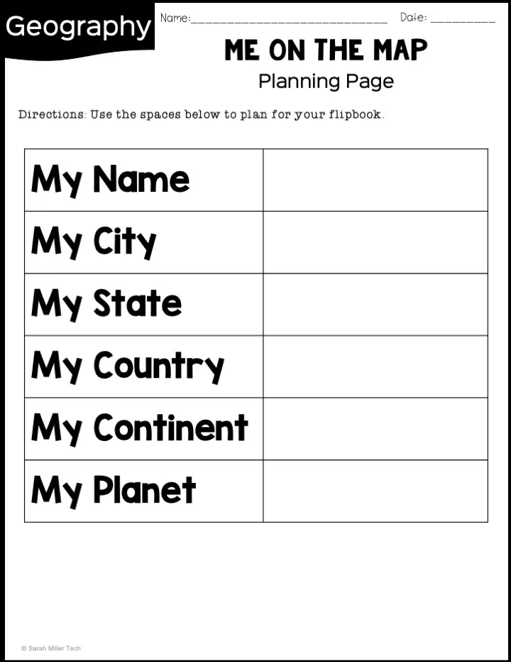
Planning pages are available for students to prepare answers for their flipbook.
Circle options included are:
- Me
- My city
- My town
- My hamlet
- My village
- States
- Provinces
- Territories
- My country
- My continent
- My planet
Related resources
More resources teachers may find useful
24 related resources were found using this product's title, contributor, categories and tags.



In the classroom
Teaching tips & learning objectives

Learning objectives
Students can identify and sequence the geographic levels that describe where they live, from local community up to planet.
Students can correctly name their own U.S. state or Canadian province/territory, country, continent, and planet.
Students can write three supporting facts each about their city, state, and country.

Teaching tips
Select only the state or province/territory slides your class needs rather than printing all 63 location options, since every slide is editable and can be removed or customized.
Have students complete the planning pages first, before building the flipbook, so their answers are already drafted and checked.
Use the fast-finisher facts page as an extension for students who complete their flipbook early, since it asks for research-based facts rather than personal information.

Skills covered
Geographic hierarchy — sequencing community, state/province, country, continent, and planet from smallest to largest.
Self-location — correctly identifying one's own city/town, state or province/territory, and country.
Fact-based writing — researching and recording three facts each about one's city, state, and country.
Good to know
Questions teachers ask about this resource
Can a teacher use this with only some states or provinces?
Yes. Customize the slides and choose the state, province or territory pages relevant to your class from the 63 location options.

No reviews yet
Downloaded this resource? Tell other teachers how it went.
Resource details
Concepts & topics
Core concepts
 Core concepts
Geographic hierarchy
Map skills
Community to planet
 Topics
Explore more
Categories this resource belongs to
Explore related searches
More to explore
You may also like