



US Map – Colorful Geography Teaching Tool
Use a printable United States map as a classroom reference when introducing U.S. geography or helping students locate places discussed in a lesson.
- Grades
- Not Grade Specific
- Pages
- 2
- File type
- Preparation
- Print ready


- Subject
- Social Studies, Geography
- Topic
- United States map, State outlines
- Resource types
- Worksheets
- Preparation
- Print ready
Product description
From the author
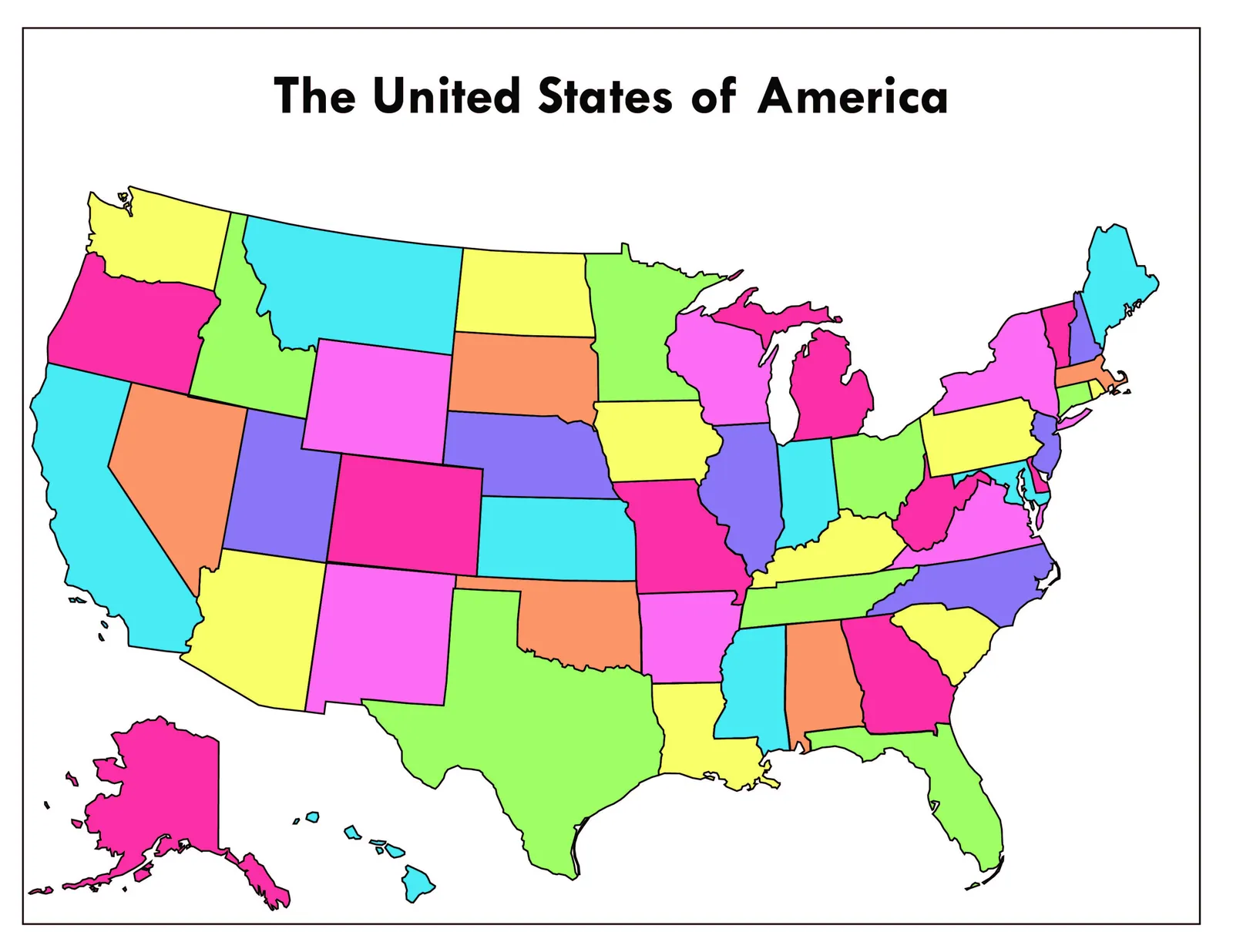
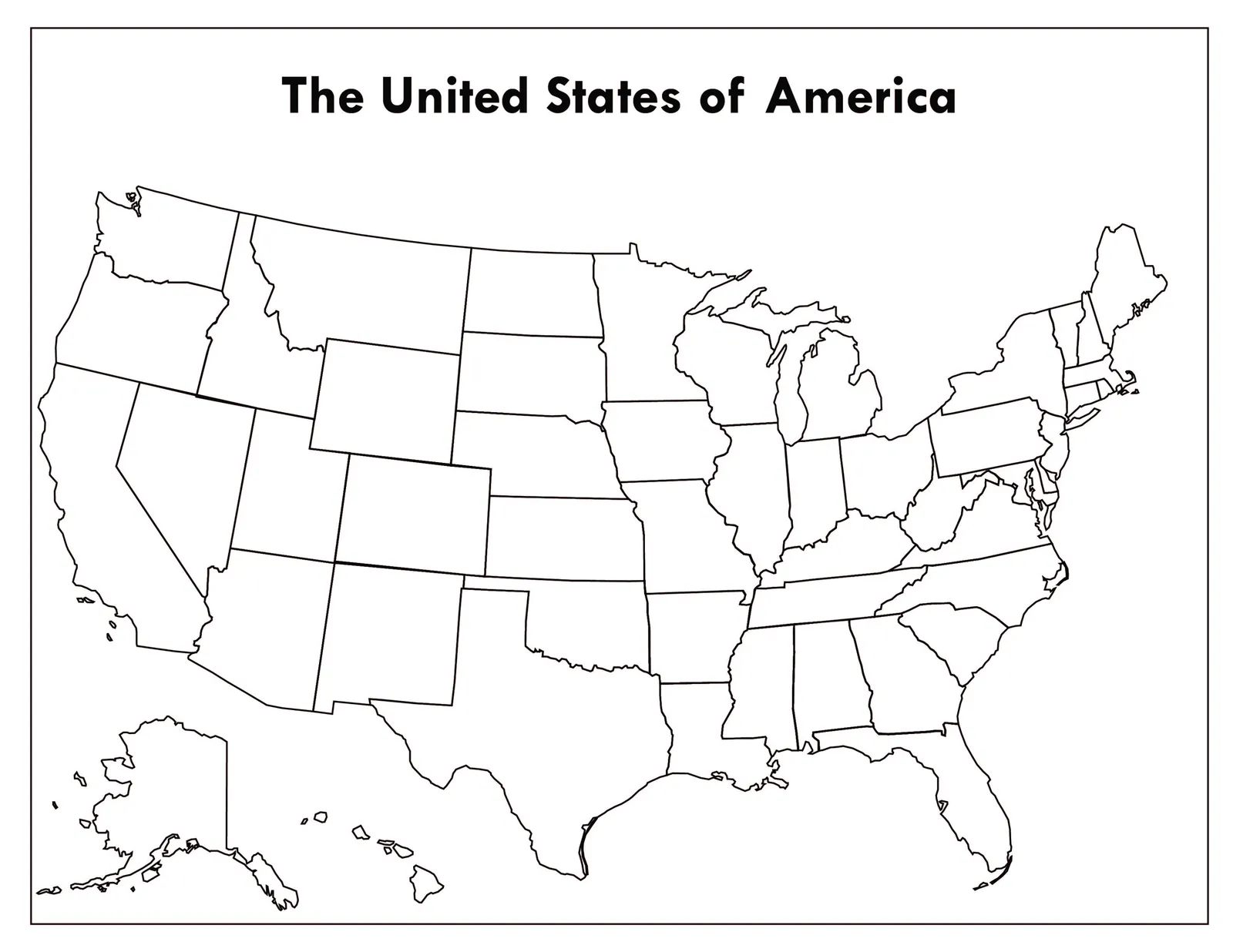
Use two United States state-outline maps for classroom geography activities. One version is black and white for student coloring; the other uses different colors for neighboring states.
The maps show state boundaries without printed state names or capitals. Provide a separate reference if students will label locations or add researched facts. Roads, routes and electoral or congressional districts are not included.
Related resources
More resources teachers may find useful
24 related resources were found using this product's title, contributor, categories and tags.



No reviews yet
Downloaded this resource? Tell other teachers how it went.
Resource details
Topics covered
 Topics
Explore related searches
More to explore
You may also like
Teacher Tools, Lesson Plans, Presentations


Teacher Tools, Lesson Plans, Presentations

Teacher Tools, Presentations, Lesson Plans
Teacher Tools, Presentations, Lesson Plans
Teacher Tools, Presentations, Lesson Plans

Teacher Tools, Presentations, Lesson Plans