
Geography & places
Presentation: Antartica
An informational slide deck teaching students facts about Antarctica's geography, climate, and ice for a social studies/geography lesson.




Classroom resources
Browse by lesson focus
Choose the topic or kind of practice you need.
Showing 337–360 of 1587 resources

 Show filters
 An informational slide deck teaching students facts about Antarctica's geography, climate, and ice for a social studies/geography lesson.
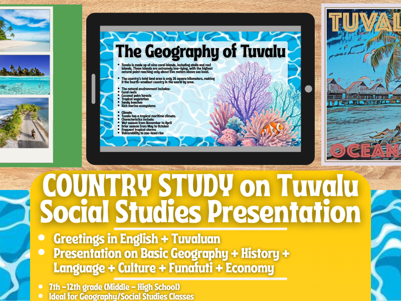
Introduces students to Tuvalu's geography, history, language, economy, and culture through an illustrated 14-slide country-profile presentation.

Provide a multi-part bundle of Mississippi-themed social studies resources covering state geography, spelling vocabulary, and biographies of Mississippi political leaders (governors, U.S. senators, and U.S. representatives).
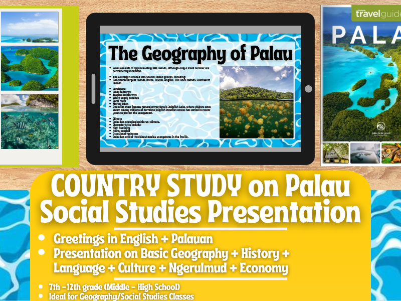
Introduces students to Palau's geography, history, language, economy, and culture through an illustrated 14-slide country-profile presentation.
Digital interactive slide-deck geography mini-lesson teaching state facts, symbols, geography, and history of Connecticut through informational text, video links, and reflection prompts.
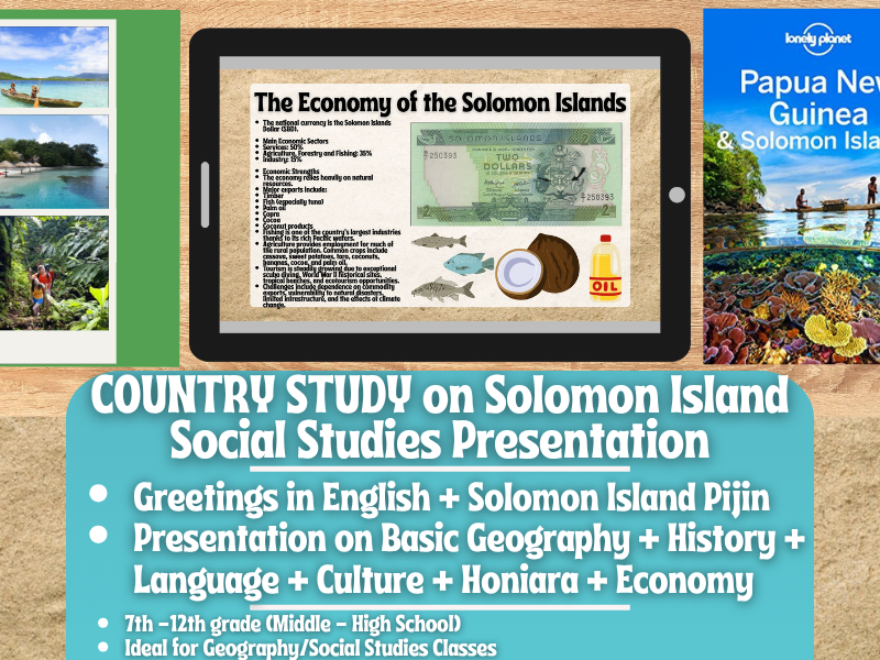
Introduces students to the Solomon Islands's geography, history, language, economy, and culture through an illustrated 14-slide country-profile presentation.
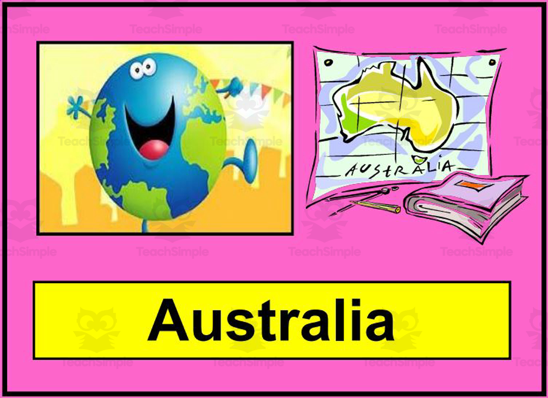
An 18-slide presentation introducing students to Australia's geography, cities, the Outback, famous landmarks, Aboriginal culture, native animals, food, and a traditional Australian folk song.
A 70-slide lecture presentation on the Seven Years War/French and Indian War (1754-1763), covering its causes, key events, battles, and consequences leading to the American Revolution.

High-school social studies unit covering pre-Civil-War American history (Antebellum period through related mid-1800s topics), delivered via lectures, activities, a virtual museum, a mock trial, a movie critique, and creative writing, with optional online quiz support via ClassFlow. NOTE: this description is built primarily from scan_meta component FILE…
A high school World History II exam-review presentation covering major topics from the Renaissance through the modern era, for use as a study guide before a unit or final exam.
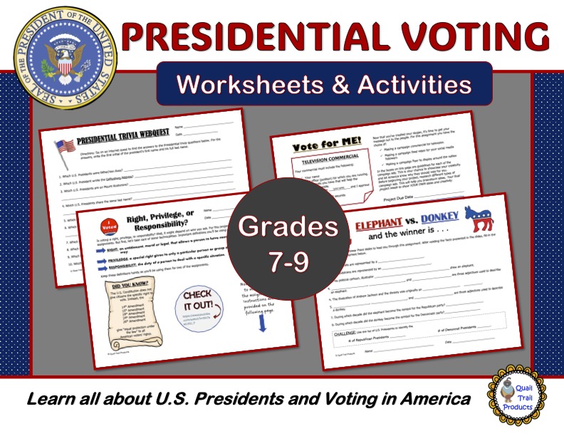
Teach students about U.S. presidents, political party symbolism, and the voting process through a mixed set of slides, task cards, and worksheets, including updated content through the Biden presidency.
A 33-slide presentation and matching fill-in-the-blank skeleton outline teaching AP Human Geography/economics concepts of globalization, spatial thinking, distribution (density, concentration, pattern), space-time compression, distance decay, and diffusion.
A digital slide-deck mini-lesson introducing students to Hawaii's geography, history, and state symbols.

A PowerPoint presentation covering the federal bureaucracy for AP U.S. Government/Politics courses, explaining its structure, pathologies, appointment processes, agency types, congressional oversight, and iron triangles.
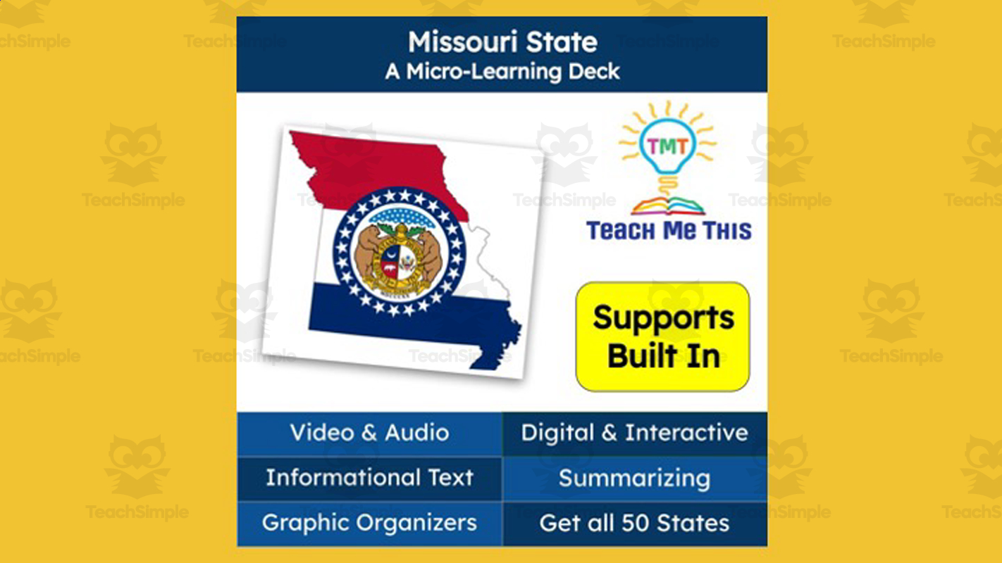
Digital micro-learning slide deck teaching state facts and geography about Missouri through video, text, and interactive elements.

A PowerPoint presentation paired with a fill-in-the-blank skeleton outline/guided notes worksheet teaching the French Revolution's Reign of Terror: the Declaration of the Rights of Man and Citizen, the March on Versailles, political divisions (Girondins/Jacobins/etc.), the outbreak of war, radical leaders (Marat, Danton, Robespierre),…
Interactive micro-learning slide deck teaching the history and spread of the Black Death/bubonic plague through a reading passage with audio, close reading, and vocabulary activities, for middle/high school Social Studies.
A multi-part lesson packet teaching the history and technical structure of the Internet (from 1961 packet-switching theory through ARPANET, TCP/IP, domain names, and network topology) via a slide-deck timeline, a second slide deck on Internet structure, research/worksheet questions, and teacher notes.
A 14-slide digital PowerPoint micro-lesson teaching Michigan state geography and symbols (location, bordering states, capital/largest city, flag, seal, motto, nickname, state animal/bird/fish/fossil/flower/reptile/gem) for grades 4-7, with a reading passage, video links, and a self-paced summarizing activity.
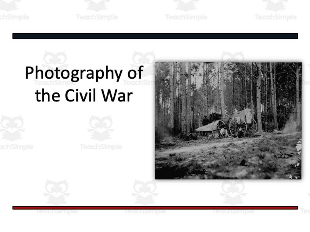
A large multi-component U.S. history unit covering the causes, events, and aftermath of the American Civil War, combining lectures, activities, quizzes, tests, evaluation/essay options, and multimedia extension tasks.
An interactive digital slide-deck science lesson (micro-learning format) teaching about Death Valley's extreme geography and climate through a video, a close-reading passage, vocabulary, and comprehension activities.
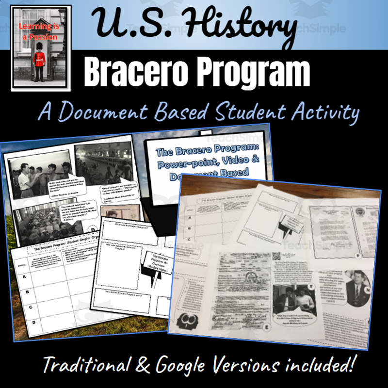
Teach students about the U.S.-Mexico Bracero Program (1942-1964) — its origins, operation, and effects — through a warm-up video, an introductory presentation, and primary/document-based sources.
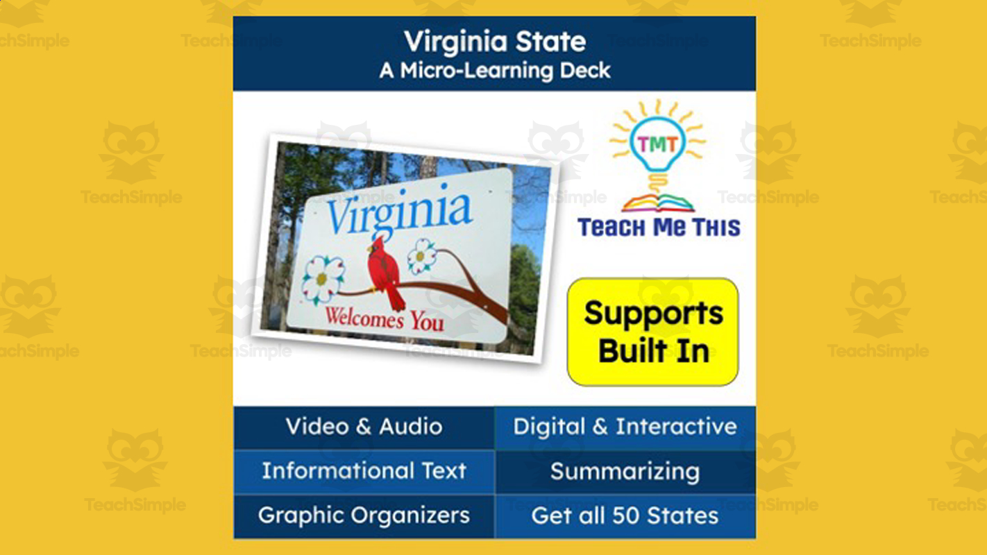
An interactive digital geography 'micro-learning deck' teaching facts and symbols of the U.S. state of Virginia.

An editable 14-slide presentation teaching high-school students to distinguish fact from opinion, covering clue words/verbs for each, misinformation, the scientific method/expertise, the historical evolution of how knowledge has been validated, and media-literacy/critical-thinking implications.