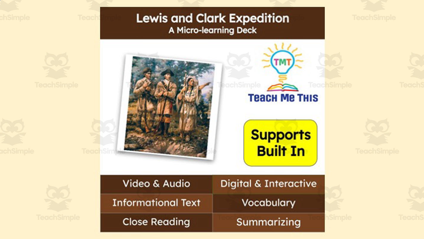
Lewis and Clark Expedition | Reading Comprehension Deck | Interactive Lesson
Interactive micro-learning deck teaching about the Lewis and Clark Expedition (Corps of Discovery) for reading comprehension.




Classroom resources
Browse by lesson focus
Choose the topic or kind of practice you need.
Showing 529–552 of 980 resources

 Show filters
 Interactive micro-learning deck teaching about the Lewis and Clark Expedition (Corps of Discovery) for reading comprehension.
Substitute/emergency lesson plan using a narrative reading passage about lemurs to teach reading comprehension plus cross-curricular math, geography, and vocabulary content.
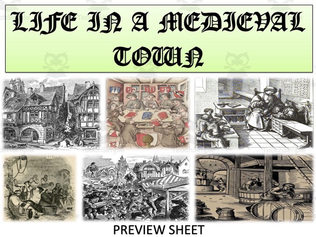
Teach middle/high school students about daily life in medieval European towns, including their growth, buildings, food, law, guilds, government, entertainment, children, and dangers.
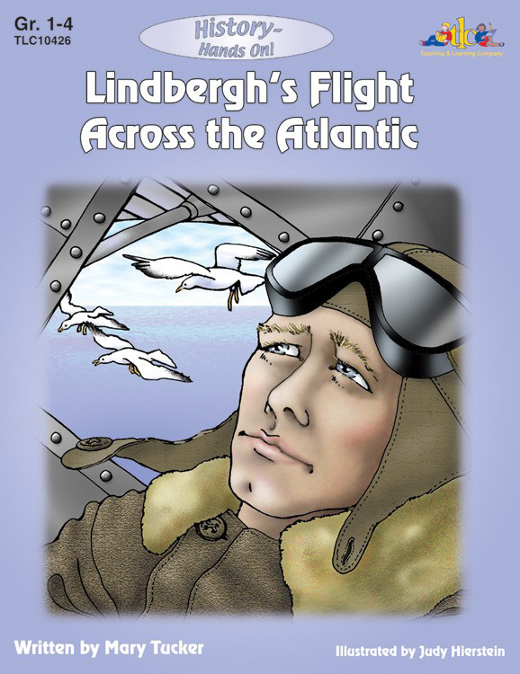
Lindbergh's Flight Across the Atlantic: History - Hands On This is a comprehensive teaching resource ideal forGrades 1 to 4. This learning material focuses on a significant historical event - Charles Lindbergh's ground-breaking flight from…
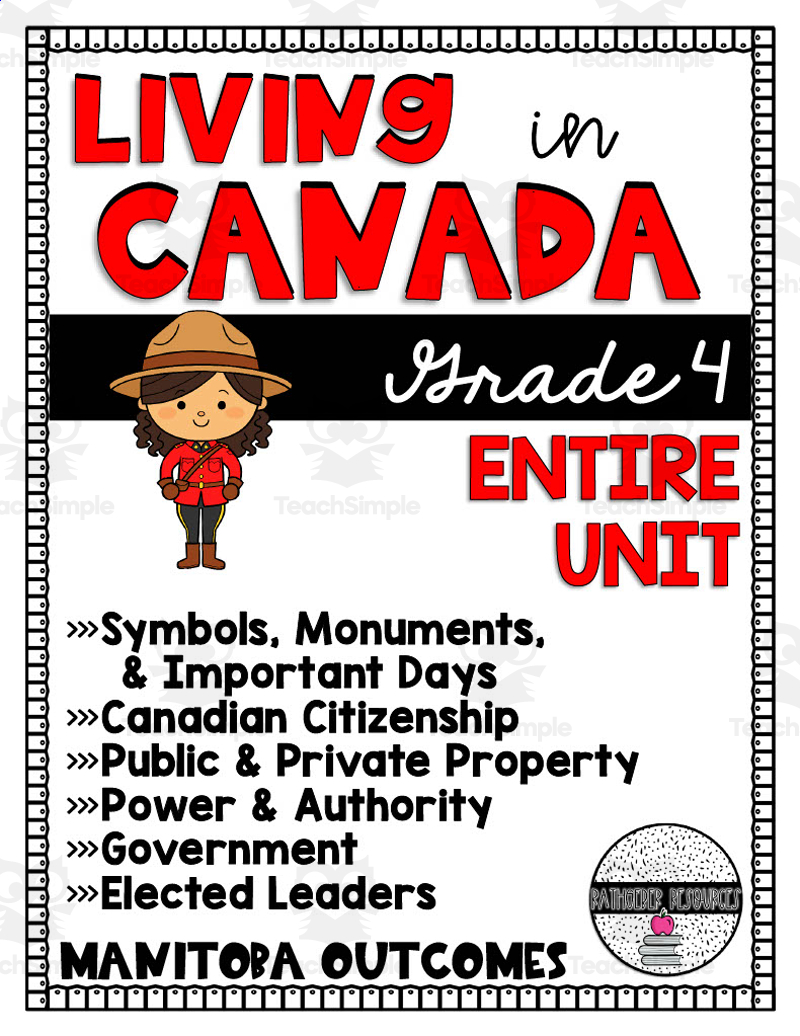
This resource is a Living in Canada Unit . Designed for your Grade 4 students, this resource is jam-packed with so many good printables to teach students about culture, diversity, geography and so much more.
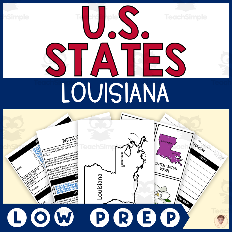
A 5-day unit study teaching students about Louisiana's capital, state bird, state flower, state flag, and state animal through videos, readings, worksheets, and interactive notebook activities.

Loving v. Virginia - DBQ : A Comprehensive Teaching Resource Aimed at students in grades 10 to 12, it fits ideally into social studies curricula, specifically targeting U.S history.
🧧 Lunar New Year Lesson & Worksheet for Elementary Students (Grades 1–6) Celebrate cultural diversity and bring global awareness into your classroom with this engaging Lunar New Year lesson plan and student worksheet !
🌕 Lunar New Year Cultural Lesson Plan for High School (ELA + Social Studies) Bring global awareness to your classroom with this Lunar New Year Lesson Plan designed for grades 9–12!
Interactive micro-learning lesson deck teaching the history and significance of the Magna Carta.
A 5-day homeschool/co-op unit study plan on Maine, pairing daily video and reading recommendations with worksheets, coloring pages, interactive notebook pieces, and graphic organizers covering the state capital, bird, flower, flag, and animal (with optional extension into culture, climate, government, and history).
A close-reading lesson plan teaching the U.S. two-party political system, differences between the Democratic and Republican parties, and what it means to be independent or a third-party member, while practicing annotation/'talking to the text' reading strategies.
A middle/high school civics lesson on how public policy and law are made, using a scenario about banning vehicles from a city park to explore the difficulty of writing clear, comprehensive rules.

A mini-unit lesson helping grade 5-8 students critically read, interpret, and analyze the Declaration of Independence, including its ideals, arguments, grievances against King George III, and the deleted paragraph on slavery.
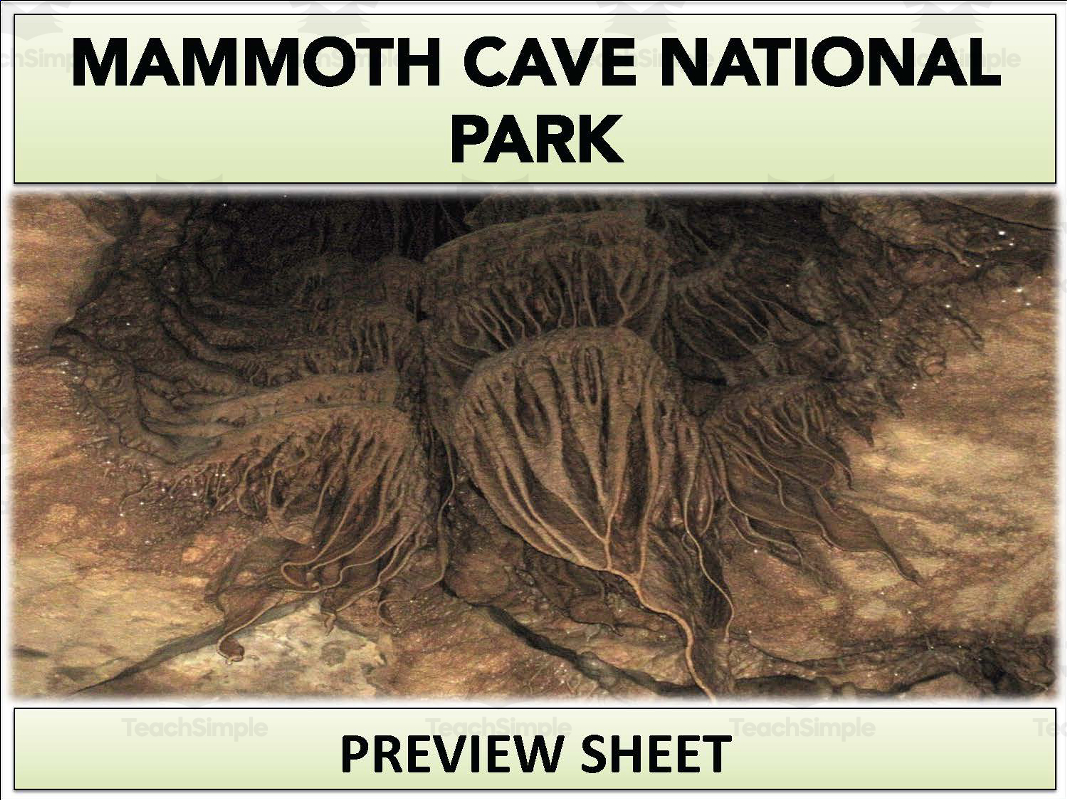
Mammoth Cave National Park Geography Unit This comprehensive middle school geography unit brings Mammoth Cave National Park to life through informative reading passages, engaging videos, crossword puzzles, PowerPoint presentations , and…
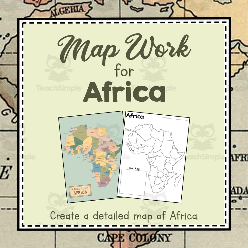
A geography unit-study bundle teaching students about the countries, capitals, land features, and map-making skills for the continent of Africa.
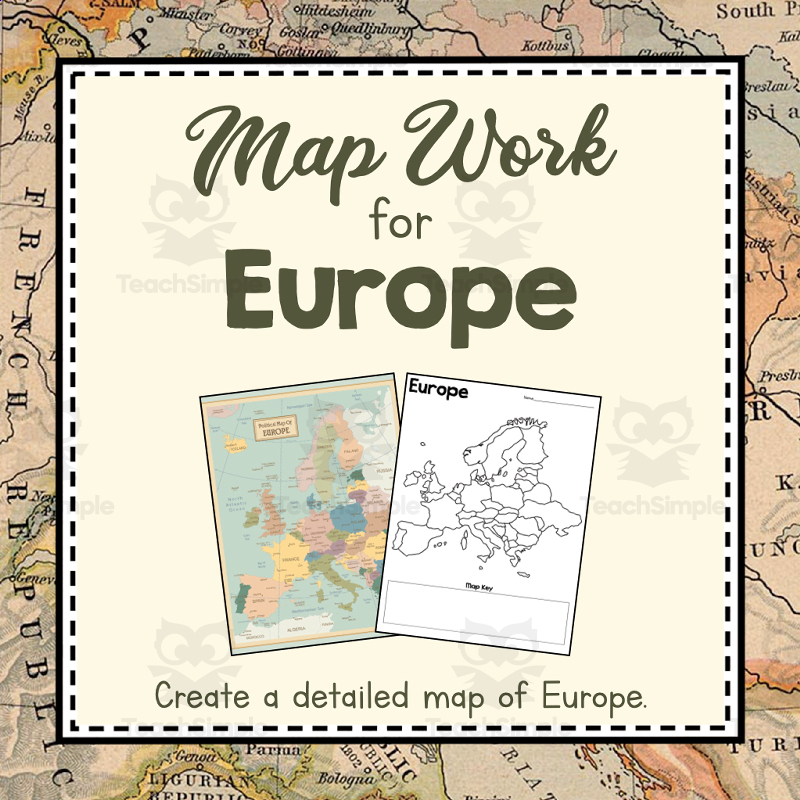
A geography unit-study bundle teaching students about the countries, physical features, and map-making skills for the continent of Europe.
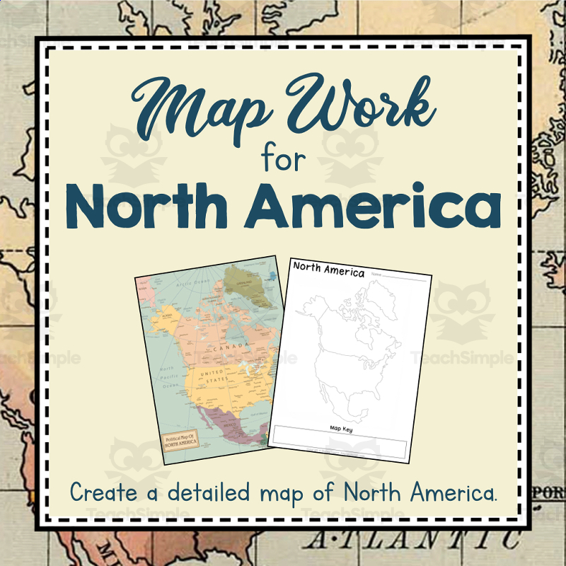
A geography unit-study bundle teaching students about the countries, landforms, and map-making skills for the continent of North America.

A geography unit-study bundle teaching students about the countries and map-making skills for the continent of South America, with a project-based-learning focus.
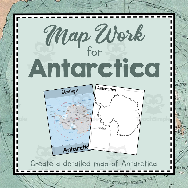
Unit-study resource teaching the geography of Antarctica through guided map-making, a quick-facts sheet, and review activities.
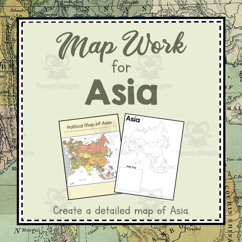
Unit-study resource teaching the geography of Asia through guided map-making, country identification, and review activities.
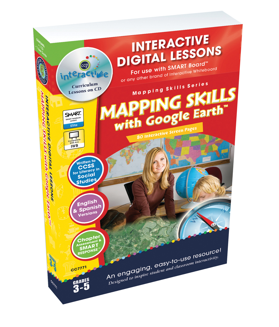
Mapping Skills with Google Earth - Digital Lesson Plan Gr. 3-5 - FLASH-MAC Overview This is a comprehensive teaching resource specifically designed to improve the mapping skills of students in grades three to five.
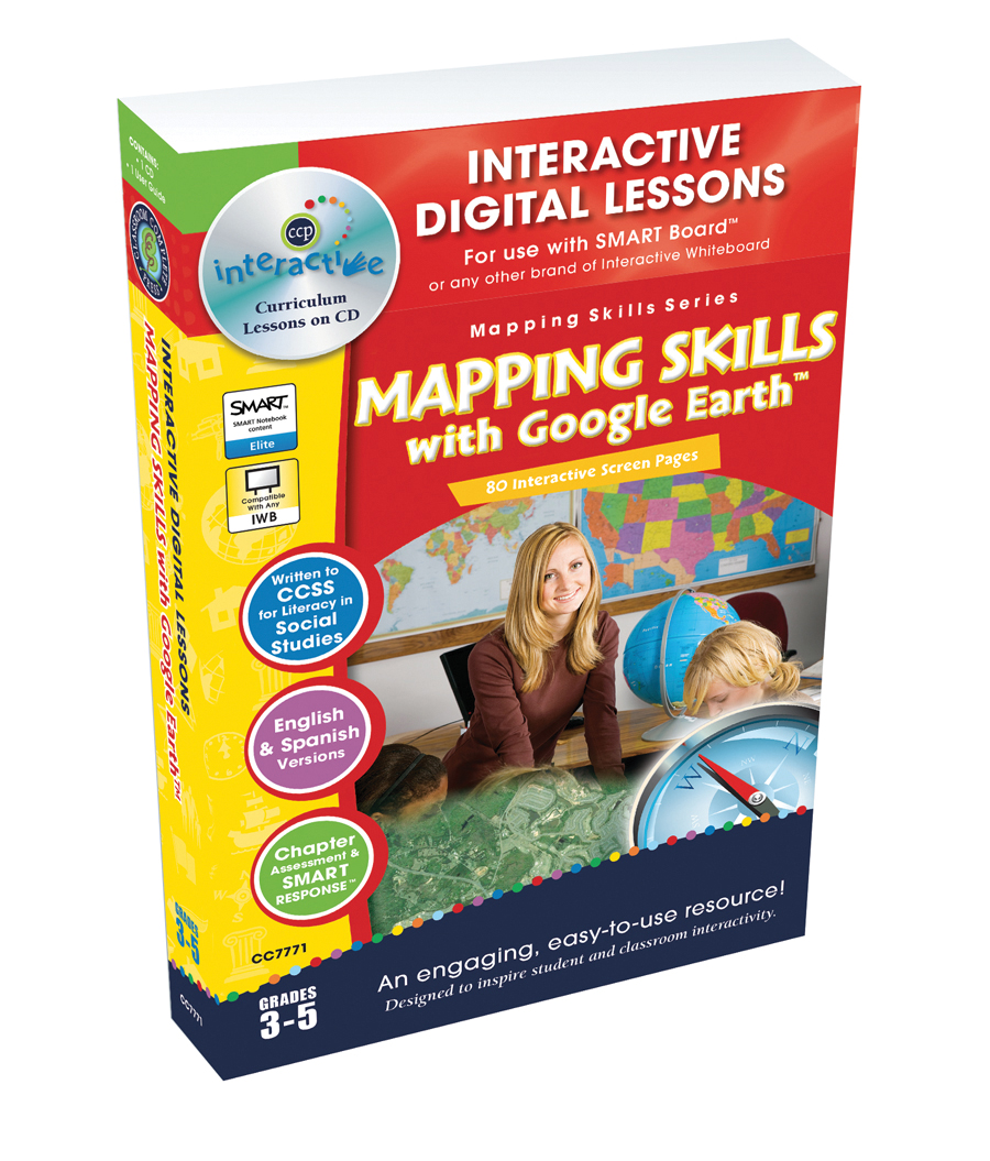
Mapping Skills with Google Earth - Digital Lesson Plan Gr. 3-5 - FLASH-PC A comprehensive learning resource perfect for third to fifth-grade educators who teach geography or social studies.
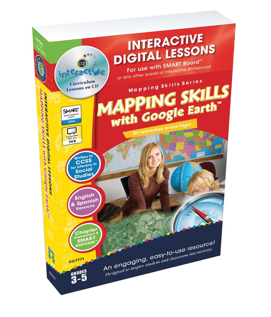
Mapping Skills with Google Earth - Digital Lesson Plan Gr. 3-5 | MAC Software The Mapping Skills with Google Earth - Digital Lesson Plan Gr.