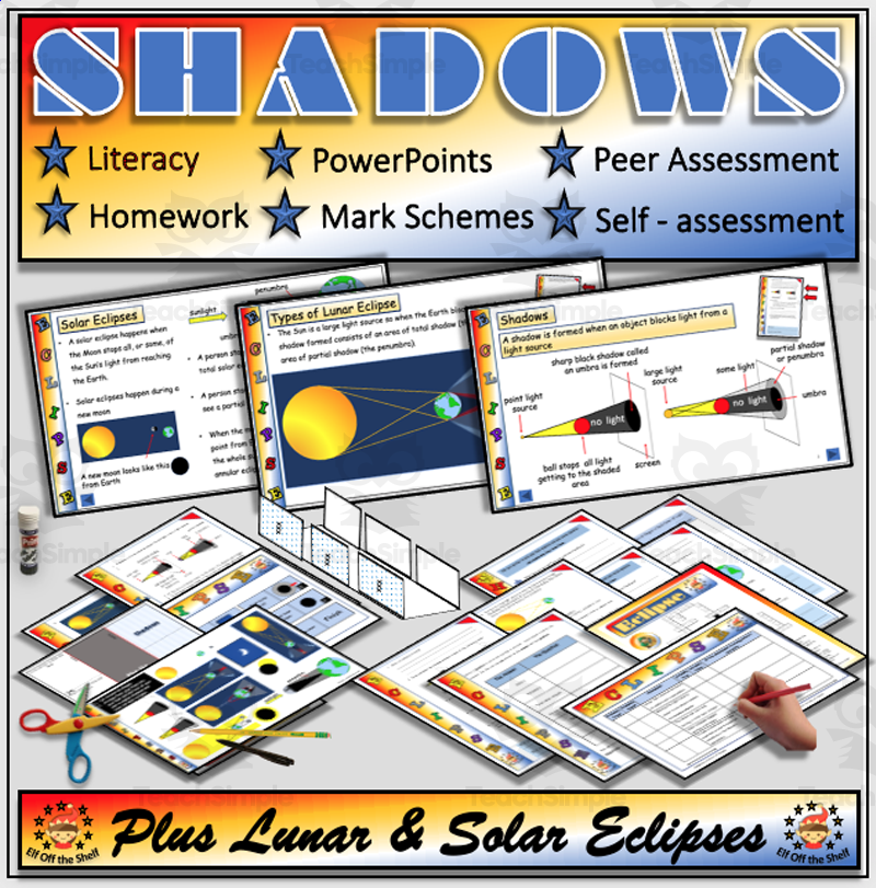
Light - Shadows and Solar and Lunar Eclipses Fully Resourced Lesson
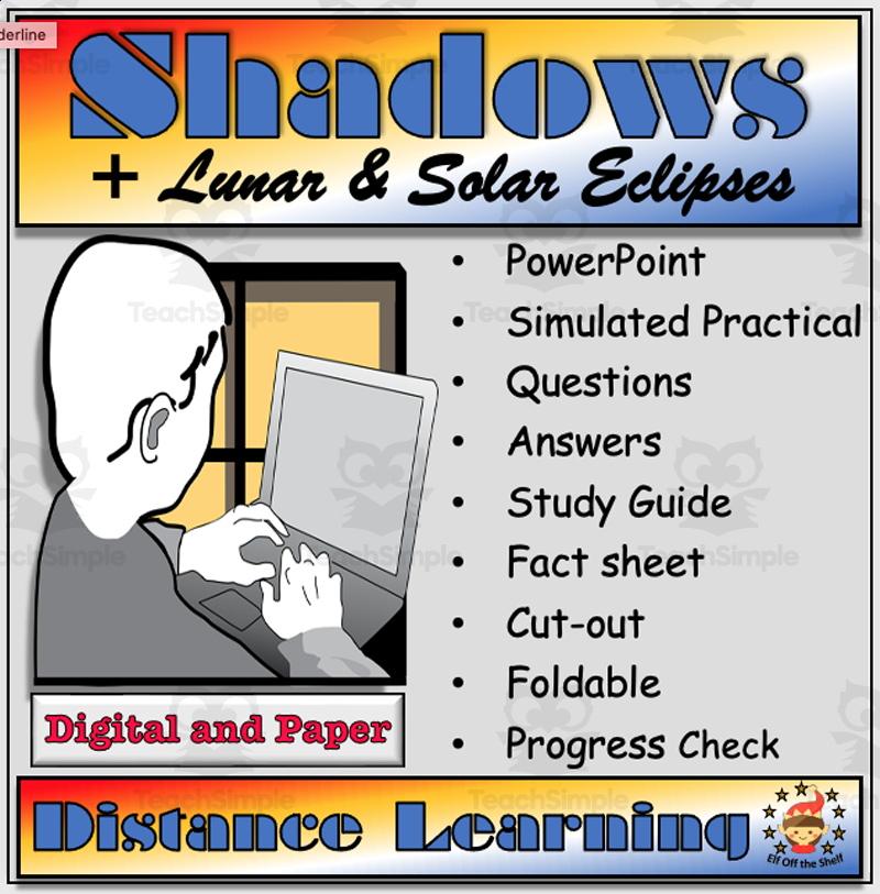
A fully resourced middle-school lesson bundle teaching shadows and lunar/solar eclipses, combining a main presentation with a large set of printable activities.
Classroom resources
Browse by lesson focus
Choose the topic or kind of practice you need.
A fully resourced middle-school lesson bundle teaching shadows and lunar/solar eclipses, combining a main presentation with a large set of printable activities.
Teaches how shadows form (umbra/penumbra) and how lunar and solar eclipses (total, partial, penumbral, annular) occur, as a self-directed distance-learning middle-school physics pack.
Lots Of Discursive Essays To Write: Pack 1 (9-14 years) is a comprehensive guide designed to perfect the art of balanced argument writing.
Lots Of Discursive Essays To Write: Pack 2 (9-14 years) This is a comprehensive teaching tool aimed at developing strong literacy skills within students aged between 9 and 14 years.
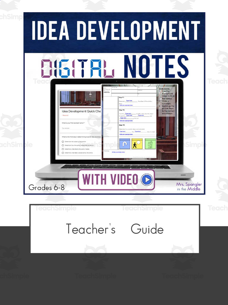
Digital lesson teaching the reading-comprehension skill of making inferences and idea development, for middle-school students, via differentiated interactive Google Slides notes ("Pixanotes").
A mini-unit lesson helping grade 5-8 students critically read, interpret, and analyze the Declaration of Independence, including its ideals, arguments, grievances against King George III, and the deleted paragraph on slavery.
An interactive micro-learning slide deck teaching middle/high school students facts about mallard ducks (breeding behavior, diet/feeding, and other characteristics) through video, an audio-supported reading passage, and interactive activities.
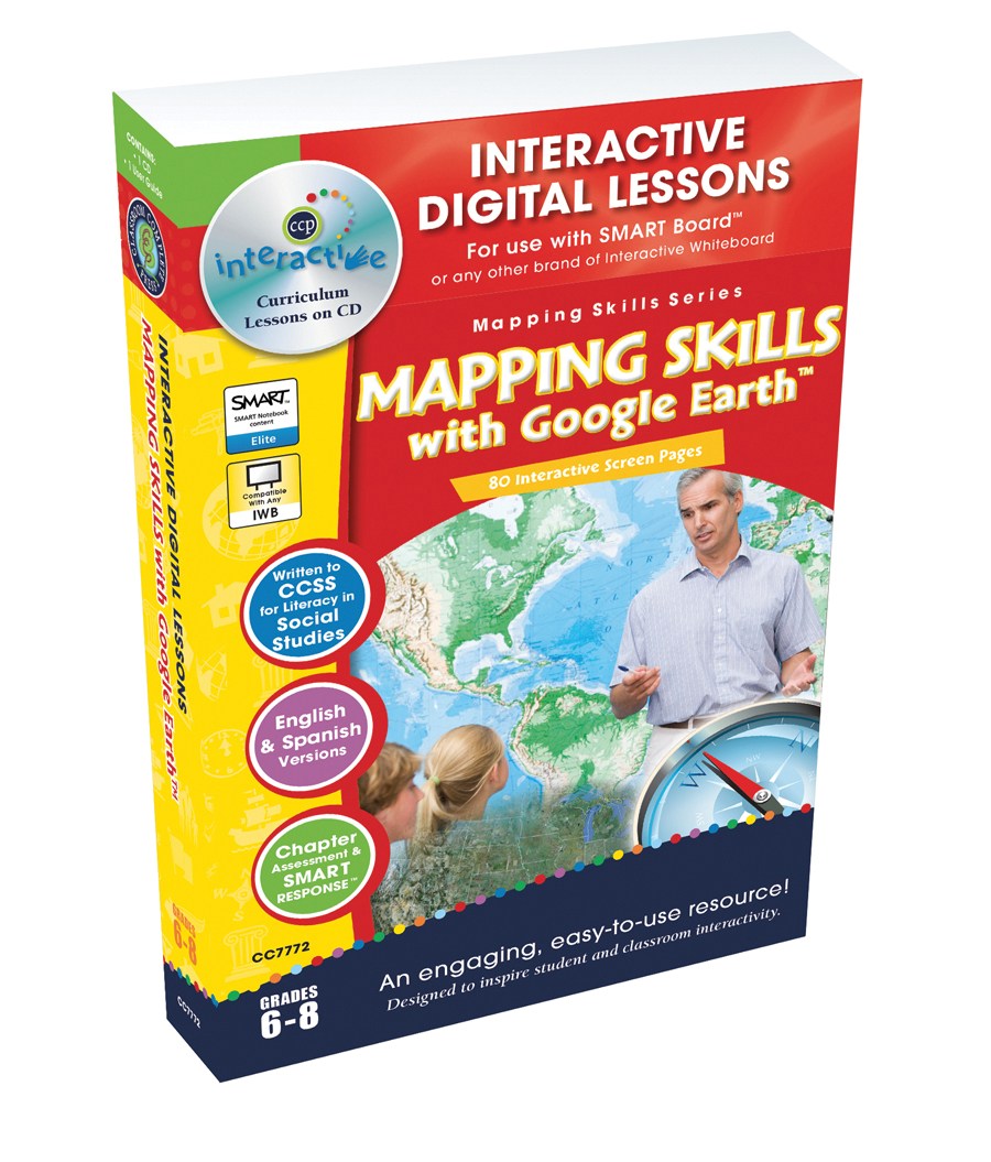
Mapping Skills with Google Earth - Digital Lesson Plan Gr. 6-8 - FLASH-MAC An engaging interactive learning journey for middle school students exploring the fascinating world of geography.
Mapping Skills with Google Earth - Digital Lesson Plan Gr. 6-8 - FLASH-PC Deepen the understanding of topographical comprehension with the Mapping Skills with Google Earth, an immersive and interactive digital lesson plan designed for…
Mapping Skills with Google Earth - Digital Lesson Plan Gr. 6-8 | MAC Software Description: An exciting, interactive, and multifaceted resource designed to enhance your students' basic map reading skills.
Interactive Digital Lesson Plan: Enhancing Mapping Skills for Grades 6-8 Description: A blended learning experience that combines social studies and geography, targeting public school educators and homeschooling parents.
The full GRADES 6-8 'Mapping Skills with Google Earth' compilation (Classroom Complete Press, written by Paul Bramley) - a multi-chapter book teaching progressive map-reading skills, each chapter built around a reading passage with embedded Google Earth activities, reproducible worksheets, and assessment tools.
A single-chapter excerpt ('Chapter Slice') titled 'Map Elements' from the GRADES 6-8 'Mapping Skills with Google Earth' series (Classroom Complete Press, written by Paul Bramley) - built around a reading passage with embedded Google Earth activities, reproducible worksheets, and assessment tools to teach a specific map-reading skill.
Builds on basic map-reading skills (map elements, drawing/labeling maps) to teach a specific mapping topic ("Map Your Continent") through a reading passage with embedded Google Earth activities, per the resource's teacher guide; the series overall covers weather maps, choropleth maps, and physical/cultural features of country, continent and world.
Builds on basic map-reading skills (map elements, drawing/labeling maps) to teach a specific mapping topic ("Population Maps") through a reading passage with embedded Google Earth activities, per the resource's teacher guide; the series overall covers weather maps, choropleth maps, and physical/cultural features of country, continent and world.
Builds on basic map-reading skills (map elements, drawing/labeling maps) to teach a specific mapping topic ("Weather Maps") through a reading passage with embedded Google Earth activities, per the resource's teacher guide; the series overall covers weather maps, choropleth maps, and physical/cultural features of country, continent and world.
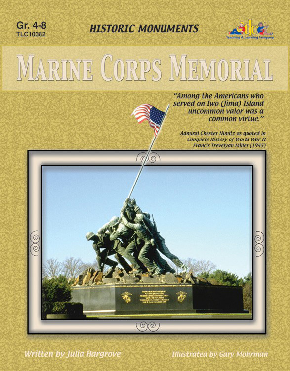
A social studies unit that teaches the history behind the Marine Corps Memorial (Iwo Jima flag-raising) by building historical context on Japan, the causes and events of the Pacific war with the U.S. in World War II, and the memorial itself, through readings, comprehension questions, and activities.
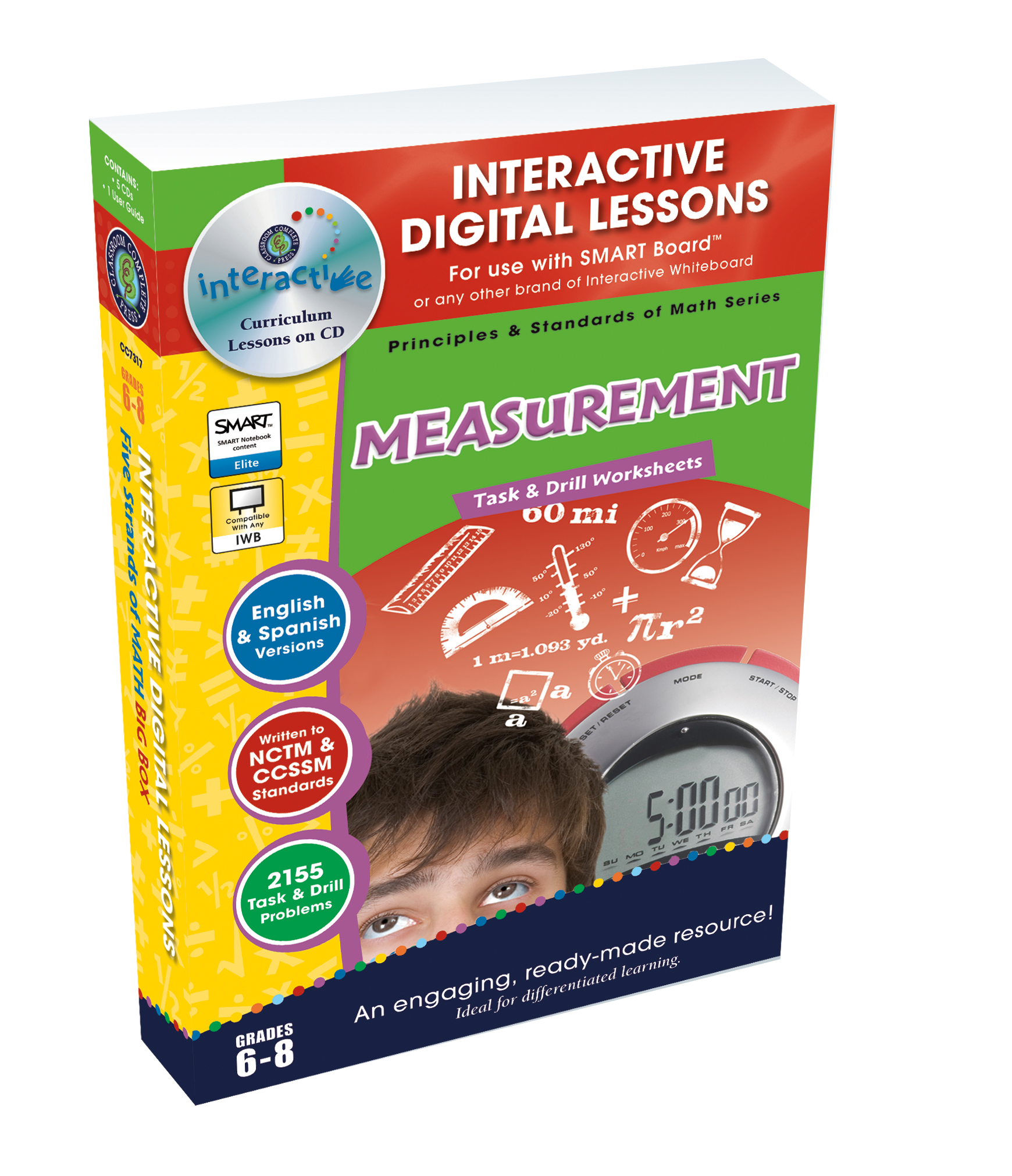
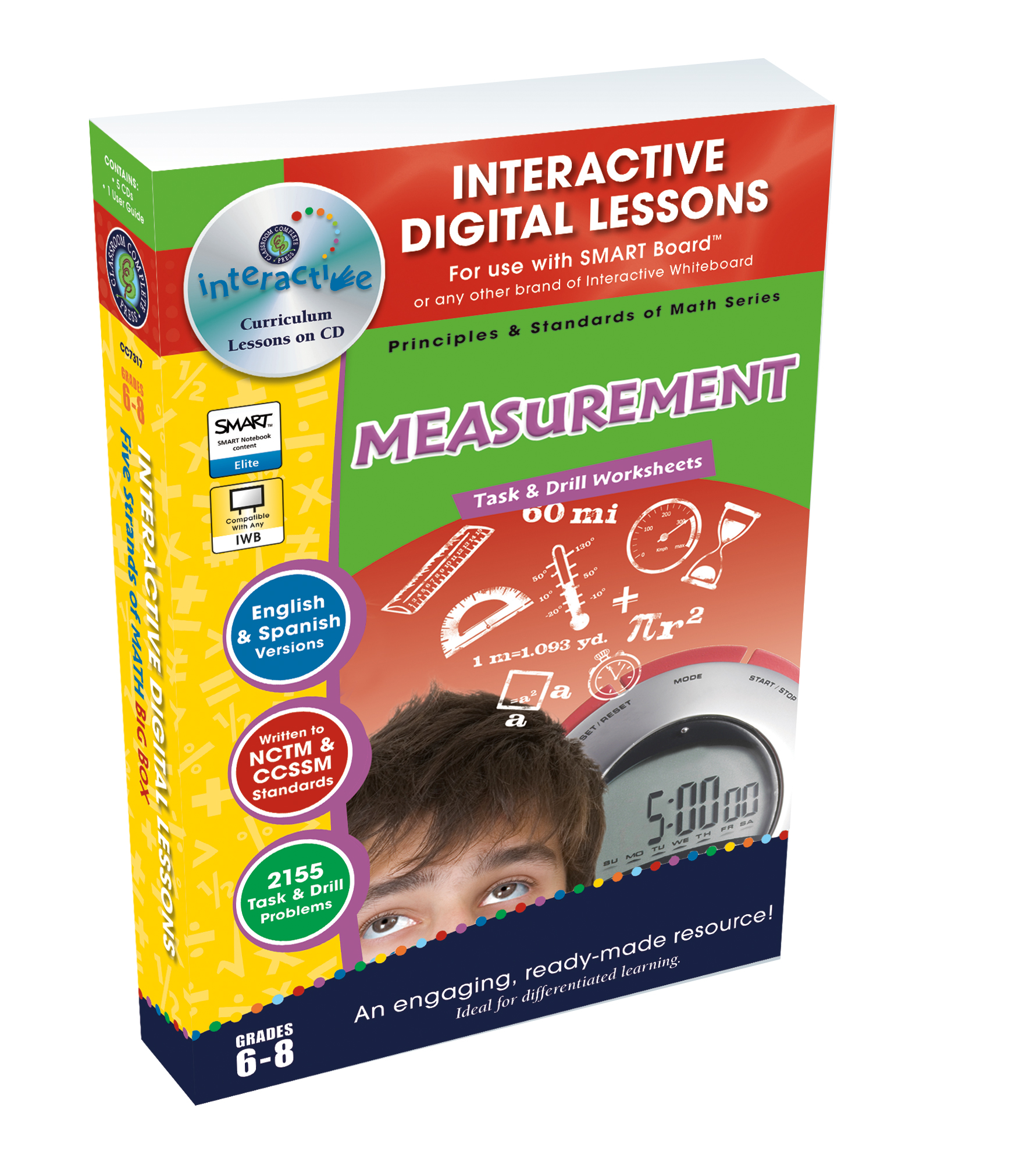
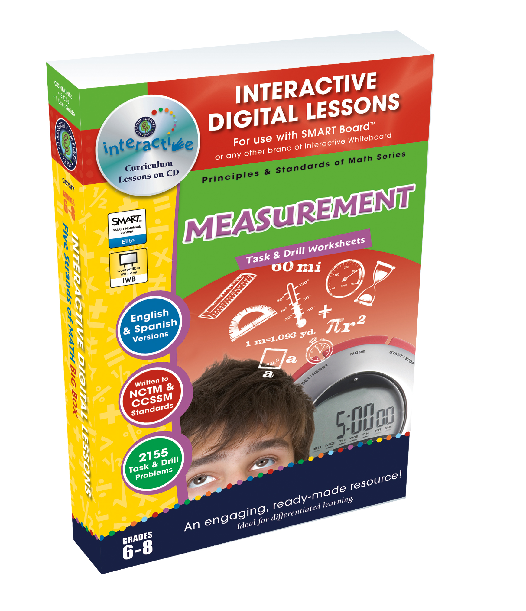
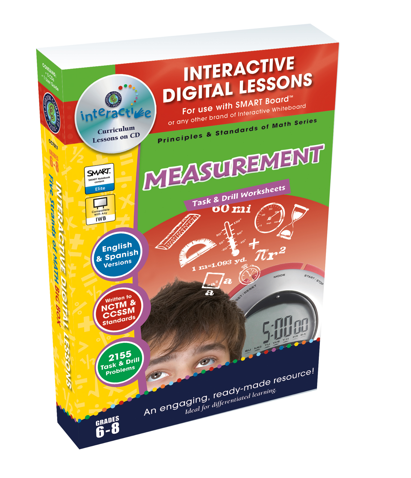
Introducing Measurement - Digital Lesson Plan Gr. 6-8 - FLASH-MAC The Measurement - Digital Lesson Plan Gr. 6-8 - FLASH-MAC is a comprehensive teaching tool specifically designed for Grades 6 to 8 mathematics educators.
Measurement – Digital Lesson Plan (Grades 6-8) - FLASH-PC The "Measurement – Digital Lesson Plan" offers a comprehensive, highly interactive math resource for students in grades 6-8.
Measurement - Digital Lesson Plan Gr. 6-8 | MAC Software A compelling pedagogical tool designed specifically to bring interactive, comprehensive and fun Math lectures to students in Grades 6-8.
Measurement - Digital Lesson Plan Gr. 6-8 | PC Software The Measurement - Digital Lesson Plan Gr. 6-8 is a comprehensive teaching resource ideal for both public school educators and homeschooling parents.
Teach middle-school students to use text structure while comparing/synthesizing information from different media (text and audio) on the same topic, using differentiated guided notes and a PowerPoint.
Medieval China World History Unit This is a Medieval China World History Unit that will provide students with resources from the beginning to end of a unit.
A two-day middle school Earth science lesson teaching weathering (physical and chemical), erosion, and deposition processes.